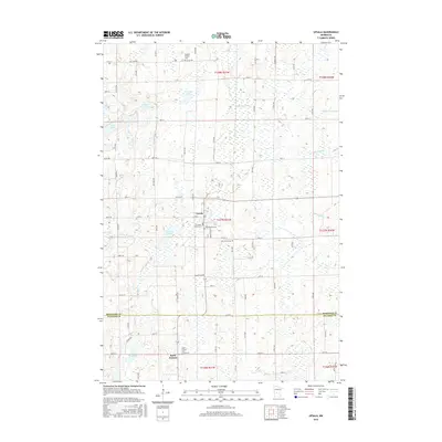
2016 Map of Upsala
USGS Topo · Published 2016About this map
Upsala and the surrounding farmland of Morrison and Stearns counties are defined by a dense network of glacial lakes and small cemeteries that tell the story of early Swedish settlement. The map reveals a cluster of religious heritage sites near the town center, including Gethsemane Cem, Covenant Church Cem, and Saint Marys Cem. To the north, the landscape is punctuated by Tamarack Lake and the winding Little Two River, while the southern border at Saint Francis is marked by Lake Beautiful. The grid of county roads, such as Co HWY 21 and Co HWY 4, connects these rural hamlets across a terrain characterized by wetlands and small-scale agriculture. This survey provides a precise record of the regional drainage patterns involving N Two River and Elmdale Cr alongside the established parish cemeteries that serve as vital landmarks for local family history.
Find a feature on this map
84 named features on this map. Tap any name to fly to it.
Don’t see what you’re looking for? This feature index may not catch every label — zoom into the map to look around manually.
Map Details
Editions of this 2016 Upsala Map
This is the sole edition of this map. No revisions or reprints were ever made.
Other maps of this area

1947 · Flensburg
USGS Topo · 1:25,000

1948 · Little Falls
USGS Topo · 1:62,500

1950 · Swanville
USGS Topo · 1:62,500

1950 · Little Falls
USGS Topo · 1:62,500

1951 · Flensburg
USGS Topo · 1:25,000

1953 · Saint Cloud
USGS Topo · 1:250,000

1957 · Saint Cloud
USGS Topo · 1:250,000

1958 · Saint Cloud
USGS Topo · 1:250,000

1965 · Albany
USGS Topo · 1:24,000

1965 · Holdingford
USGS Topo · 1:24,000