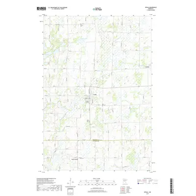
2019 Map of Upsala
USGS Topo · Published 2019About this map
Upsala sits at the center of this rural Minnesota landscape, where the headwaters of the N Two River and the Little Two River carve through the glacial terrain. The area's deep-rooted community identity is anchored by a significant concentration of religious and memorial sites, including the Upsala Memorial Cem, Saint Marys Cem, and Gethsemane Lutheran Church Cem. The township boundaries of t127n r31w and its neighbors delineate a grid of farm-to-market roads that connect local centers like Saint Francis in the south to Elmdale in the east. Hydrological features such as Lake Beautiful, Tamarack Lake, and Long Lake punctuate the landscape, illustrating the wetland-heavy geography of the Morrison Co Stearns Co border. This survey provides an exact record of property divisions and rural infrastructure at the close of the 2010s.
Find a feature on this map
84 named features on this map. Tap any name to fly to it.
Don’t see what you’re looking for? This feature index may not catch every label — zoom into the map to look around manually.
Map Details
Editions of this 2019 Upsala Map
This is the sole edition of this map. No revisions or reprints were ever made.
Other maps of this area
1947 · Flensburg
USGS Topo · 1:25,000
1948 · Little Falls
USGS Topo · 1:62,500
1950 · Swanville
USGS Topo · 1:62,500
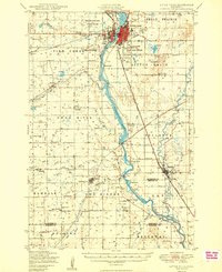
1950 · Little Falls
USGS Topo · 1:62,500
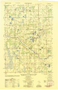
1951 · Flensburg
USGS Topo · 1:25,000

1953 · Saint Cloud
USGS Topo · 1:250,000
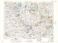
1957 · Saint Cloud
USGS Topo · 1:250,000
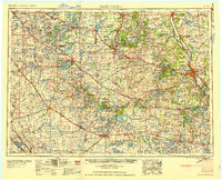
1958 · Saint Cloud
USGS Topo · 1:250,000
1965 · Albany
USGS Topo · 1:24,000
1965 · Holdingford
USGS Topo · 1:24,000