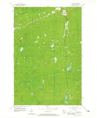
1956 Map of Upson
USGS Topo · Published 1965About this map
Upson serves as the primary settlement within this mid-century topographic survey, positioned near the confluence of the Potato River and several local creeks. The landscape is defined by the heavy presence of the timber and transport industries, evidenced by the Minneapolis Sault Ste Marie and St Paul railroad corridor cutting through the northern section. Further south, the woods around McIver Camp are crisscrossed by an Old Railroad Grade, tracing the paths of earlier logging operations.
Find a feature on this map
19 named features on this map. Tap any name to fly to it.
Don’t see what you’re looking for? This feature index may not catch every label — zoom into the map to look around manually.
Map Details
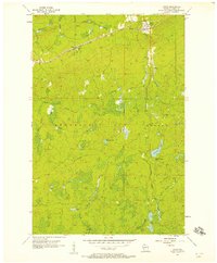
Editions of this 1956 Upson Map
2 editions found
Other maps of this area

1940 · Butternut
USGS Topo · 1:48,000

1940 · Upson
USGS Topo · 1:48,000

1942 · Glidden
USGS Topo · 1:48,000

1942 · Mellen
USGS Topo · 1:48,000

1943 · Upson
USGS Topo · 1:48,000

1945 · Glidden
USGS Topo · 1:48,000

1945 · Mellen
USGS Topo · 1:48,000

1947 · Butternut
USGS Topo · 1:48,000

1950 · Butternut
USGS Topo · 1:48,000

1953 · Ashland
USGS Topo · 1:250,000