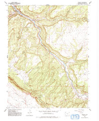
1960 Map of Uravan
USGS Topo · Published 1992About this map
The uranium and vanadium mining hub of Uravan sits along the San Miguel River, its industrial purpose etched into the landscape through infrastructure like Tailings Ponds and the Club Mines Airstrip. This 1960 revision reflects an era of intense resource extraction in western Colorado, where a network of tunnels and shafts punctuate the high mesas and canyons. Dozens of specific operations are identified across the terrain, including the Rock Raven Mine, Sunbeam Mine, and the clustered Bitter Creek Mines.
Find a feature on this map
37 named features on this map. Tap any name to fly to it.
Don’t see what you’re looking for? This feature index may not catch every label — zoom into the map to look around manually.
Map Details
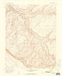
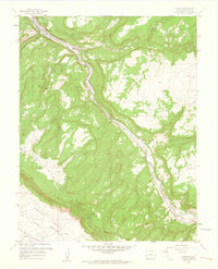
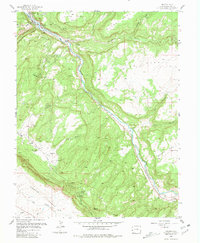
Editions of this 1960 Uravan Map
4 editions found
Other maps of this area

1916 · Paradox Valley
USGS Topo · 1:125,000

1922 · Paradox Valley
USGS Topo · 1:125,000

1948 · Bull Canyon
USGS Topo · 1:24,000

1948 · Uravan
USGS Topo · 1:24,000

1948 · Naturita NW
USGS Topo · 1:24,000

1949 · Bull Canyon
USGS Topo · 1:24,000

1949 · Davis Mesa
USGS Topo · 1:24,000

1949 · Uravan
USGS Topo · 1:24,000

1949 · Naturita NW
USGS Topo · 1:24,000

1949 · Atkinson Creek
USGS Topo · 1:24,000