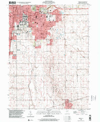
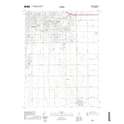
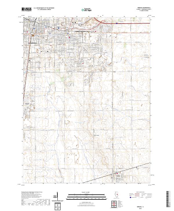
1998 Map of Urbana
USGS Topo · Published 2001About this map
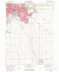
The University of Illinois campus serves as the centerpiece of this late 20th-century topographic record, showing the dense development of Champaign and Urbana before the turn of the millennium. The map details significant regional infrastructure, from major medical facilities like Carle Hospital and Burnham Hospital to collegiate landmarks including Memorial Stadium and the distinctive Assembly Hall. Beyond the urban core, the landscape transitions into the agricultural reaches of Champaign County, where the headwaters of the Embarras River begin their southward trek. The topography is dominated by the glacial rise of Yankee Ridge, which provides a subtle elevation contrast to the surrounding plains. To the south, the village of Philo stands along the Norfolk and Western Railway, while several rural burying grounds, such as Locust Grove Cem and Calvary Cem, offer valuable data points for local genealogy.
Find a feature on this map
64 named features on this map. Tap any name to fly to it.
Don’t see what you’re looking for? This feature index may not catch every label — zoom into the map to look around manually.
Map Details
Editions of this 1998 Urbana Map
This is the sole edition of this map. No revisions or reprints were ever made.
Historical Maps of Champaign Through Time
10 maps found
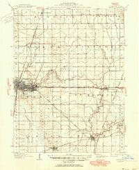
1906 Urbana
Champaign County, IL
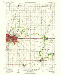
1957 Urbana
Champaign County, IL
1957 Urbana
Champaign County, IL
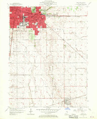
1970 Urbana
Champaign County, IL
1998 Urbana
Champaign County, IL
2012 Urbana
Champaign County, IL
2015 Urbana
Champaign County, IL
2018 Urbana
Champaign County, IL
2021 Urbana
Champaign County, IL
2024 Urbana
Champaign County, IL