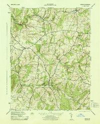
1944 Map of Urbana
USGS Topo · Published 1944About this map
Hyattstown sits at the southern reach of this 1944 study, straddling the Frederick Montgomery boundary. The landscape is defined by the drainage networks of Bennett Creek and Bush Creek, which carved the terrain long before the wartime road network connected these agrarian hubs. Industrial history is evident along the Baltimore and Ohio tracks in the north, where Monrovia and Ijamsville served as vital rail links.
Find a feature on this map
27 named features on this map. Tap any name to fly to it.
Don’t see what you’re looking for? This feature index may not catch every label — zoom into the map to look around manually.
Map Details
Editions of this 1944 Urbana Map
2 editions found
Other maps of this area

1893 · Frederick
USGS Topo · 1:125,000

1894 · Frederick
USGS Topo · 1:125,000

1908 · Rockville
USGS Topo · 1:62,500

1908 · Seneca
USGS Topo · 1:62,500

1908 · Ijamsville
USGS Topo · 1:62,500

1909 · Mount Airy
USGS Topo · 1:62,500

1909 · Ijamsville
USGS Topo · 1:62,500

1923 · Rockville
USGS Topo · 1:62,500

1942 · Frederick
USGS Topo · 1:62,500

1944 · Walkersville
USGS Topo · 1:31,680