Loading...
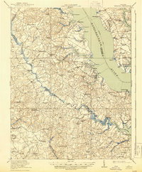
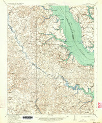
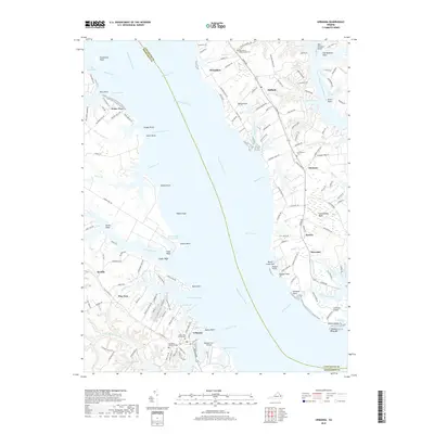
Loading map...1917 Map of Urbanna
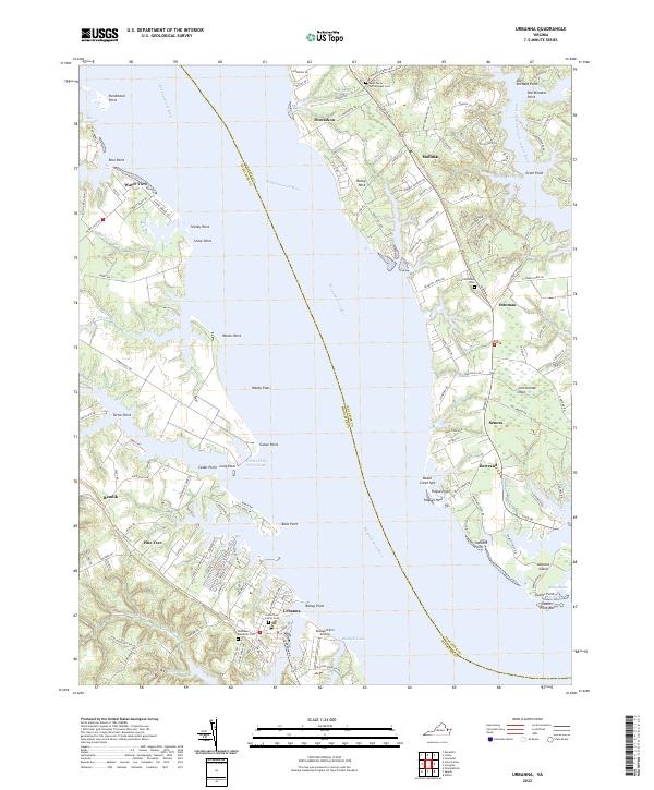
USGS Topo · Published 1944About this map
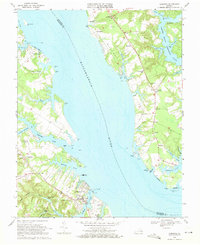
Urbanna and the surrounding Tidewater landscape are defined by the wide waters of the Rappahannock River and Piankatank River, which dictated the commerce and transportation of the early 20th century. A primary Steamboat Route tracks through the Rappahannock, connecting riverfront points like Buchans Wharf and Long Point to wider markets. Inland, the dense network of wetlands such as Dragon Swamp and Briery Swamp created natural boundaries for the surrounding counties of Middlesex, Gloucester, and King and Queen.
Find a feature on this map
93 named features on this map. Tap any name to fly to it.
Don’t see what you’re looking for? This feature index may not catch every label — zoom into the map to look around manually.
Map Details
Date Portrayed1917
Date Published1944
PublisherU.S. Geological Survey
Map TypeTopographic
Scale1:62,500
Physical Dimensions16.4 x 19.9 inches
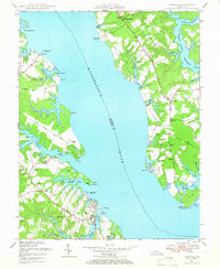
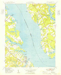
Editions of this 1917 Urbanna Map
3 editions found

Historical Maps of Saluda Through Time
9 maps found
Featured Locations
Source Details
SourceU.S. Geological Survey
CopyrightPublic Domain