
1917 Map of Urbanna
USGS Topo · Published 1917About this map
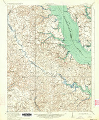
Urbanna and Saluda serve as the primary hubs on this coastal survey, which details the intricate landscape of the Middle Peninsula and Northern Neck during the late First World War era. The broad Rappahannock River dominates the center, flanked by numerous family-named points like Smoky Pt and Towles Pt. Inland, the map reveals a dense network of social infrastructure, including Church View, Royal Oak School, and St Andrews Church, illustrating the scattered nature of rural communities before the onset of modern highway consolidation.
Find a feature on this map
93 named features on this map. Tap any name to fly to it.
Don’t see what you’re looking for? This feature index may not catch every label — zoom into the map to look around manually.
Map Details
Editions of this 1917 Urbanna Map
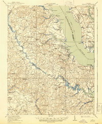
3 editions found
Other maps of this area

1906 · Williamsburg
USGS Topo · 1:62,500

1916 · Kilmarnock
USGS Topo · 1:48,000

1916 · Mathews
USGS Topo · 1:62,500

1917 · Heathsville
USGS Topo · 1:48,000

1917 · Morattico
USGS Topo · 1:62,500

1917 · Kilmarnock
USGS Topo · 1:62,500

1917 · Mathews
USGS Topo · 1:62,500

1917 · Toano
USGS Topo · 1:62,500

1918 · Toano
USGS Topo · 1:62,500

1918 · Tappahannock
USGS Topo · 1:62,500