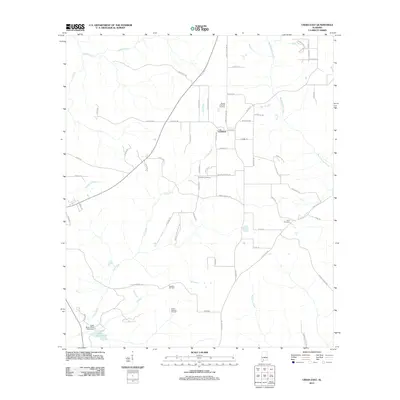
2011 Map of Uriah East
USGS Topo · Published 2011About this map
The community of Goodway serves as a central hub for this portion of southern Monroe County, where the landscape is defined by the winding course of the Little River and the tributary waters of Hurricane Branch and Robinson Creek. Local heritage is preserved in several rural burial grounds, including Sowell Old Field Cemetery north of the settlement and Enon Cemetery to the southeast. The southern portion of the map is dominated by industrial and recreational features, notably the Vocation Oil Field and the adjacent South Vocation Oil Field. To the southwest, the Little River State Park provides a public landscape around Little River Lake, maintained by the Little River State Park Dam. Numerous family-named roads, such as Stinson Hollow Rd and Hollinger Rd, trace the paths of early settlement and land ownership across the timbered terrain and creek bottoms.
Find a feature on this map
67 named features on this map. Tap any name to fly to it.
Don’t see what you’re looking for? This feature index may not catch every label — zoom into the map to look around manually.
Map Details
Editions of this 2011 Uriah East Map
This is the sole edition of this map. No revisions or reprints were ever made.
Other maps of this area

1942 · Perdido
USGS Topo · 1:62,500

1944 · Perdido
USGS Topo · 1:62,500

1953 · Andalusia
USGS Topo · 1:250,000

1957 · Andalusia
USGS Topo · 1:250,000

1960 · Huxford
USGS Topo · 1:24,000

1960 · Barnett Crossroads
USGS Topo · 1:24,000

1972 · Frisco City
USGS Topo · 1:24,000

1972 · Frisco City SE
USGS Topo · 1:24,000

1972 · Uriah East
USGS Topo · 1:24,000

1972 · Excel
USGS Topo · 1:24,000