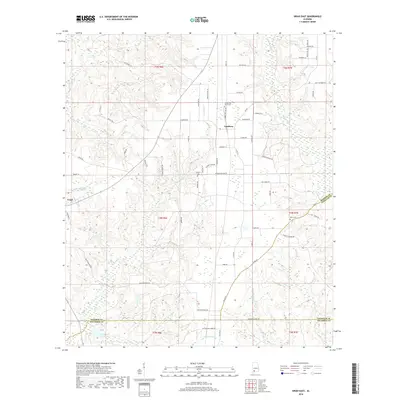
2018 Map of Uriah East
USGS Topo · Published 2018About this map
Goodway and the eastern edge of Uriah anchor this South Alabama landscape where the headwaters of the Little River and Big Escambia Cr define the drainage of northern Escambia and Monroe counties. The map reveals a rural economy organized around a dense network of local roads such as Goodway Rd and Neuschwander Rd, which connect scattered homesteads to local centers. For those tracing family history in this corner of the state, the presence of Sowell Old Field Cem, Johnson Cem, and Enon Cem provides specific points of interest near early settlements. The terrain is marked by numerous small tributaries including Hurricane Br and Chitterling Cr, while the Leo Williams Dam in the southwest corner indicates more recent water management efforts in this heavily timbered region.
Find a feature on this map
71 named features on this map. Tap any name to fly to it.
Don’t see what you’re looking for? This feature index may not catch every label — zoom into the map to look around manually.
Map Details
Editions of this 2018 Uriah East Map
This is the sole edition of this map. No revisions or reprints were ever made.
Other maps of this area
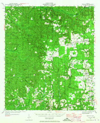
1942 · Perdido
USGS Topo · 1:62,500
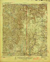
1944 · Perdido
USGS Topo · 1:62,500
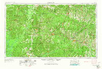
1953 · Andalusia
USGS Topo · 1:250,000
1957 · Andalusia
USGS Topo · 1:250,000
1960 · Huxford
USGS Topo · 1:24,000
1960 · Barnett Crossroads
USGS Topo · 1:24,000
1972 · Frisco City
USGS Topo · 1:24,000
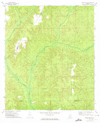
1972 · Frisco City SE
USGS Topo · 1:24,000
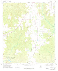
1972 · Uriah East
USGS Topo · 1:24,000
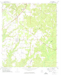
1972 · Excel
USGS Topo · 1:24,000