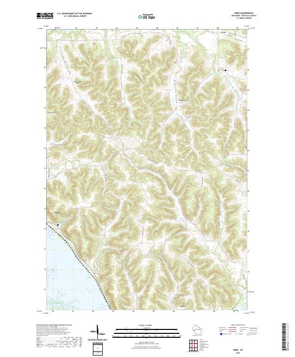
2022 Map of Urne
USGS Topo · Published 2022About this map
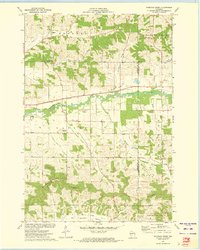
Rattlesnake Bluff and Fox Bluff rise sharply above the Mississippi River valley in this detailed 2022 survey of Buffalo County. The landscape is defined by deep coulees and valleys, such as Larson Valley, Cascade Valley, and Church Valley, which channel small tributaries like Center Cr and Little Bear Cr toward the river plains. Small settlements and rural networks are centered around Urne and the northern outskirts of Alma, with local history preserved at the Nelson Cem and Church Valley Cem.
Find a feature on this map
51 named features on this map. Tap any name to fly to it.
Don’t see what you’re looking for? This feature index may not catch every label — zoom into the map to look around manually.
Map Details
Editions of this 2022 Urne Map
This is the sole edition of this map. No revisions or reprints were ever made.
Historical Maps of Modena Through Time
16 maps found
1972 Durand South
Buffalo County, WI
1972 Tarrant
Buffalo County, WI
1973 Lookout
Buffalo County, WI
1973 Rossman Creek
Buffalo County, WI
1973 Swinns Valley
Buffalo County, WI
1974 Cream
Buffalo County, WI
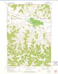
1974 Modena
Buffalo County, WI
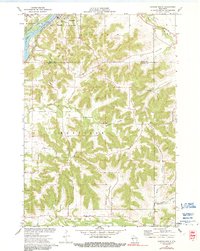
1974 Urne
Buffalo County, WI
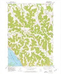
2022 Cream
Buffalo County, WI
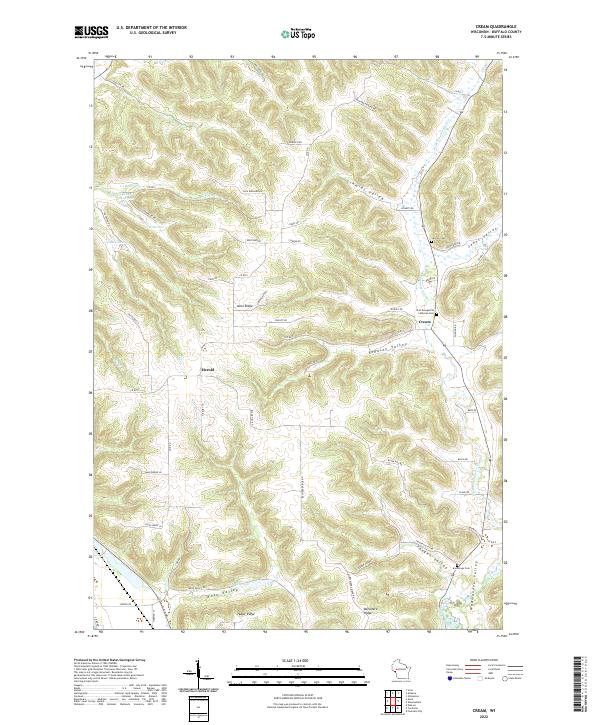
2022 Durand South
Buffalo County, WI
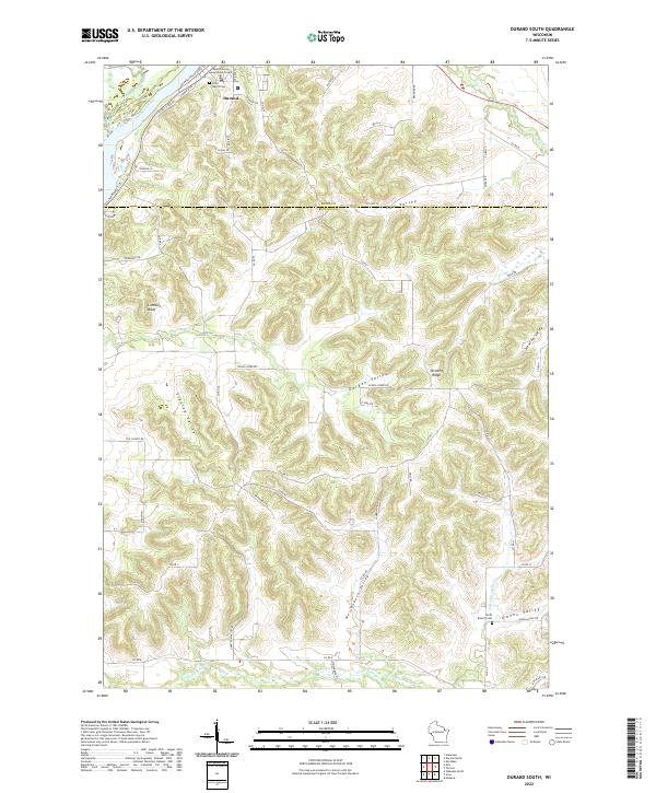
2022 Lookout
Buffalo County, WI
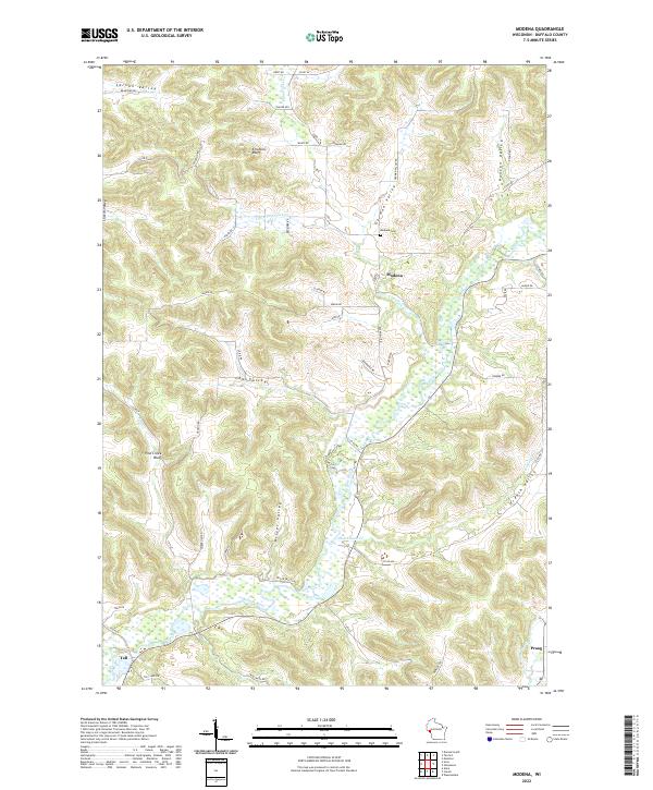
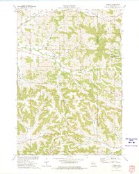
2022 Modena
Buffalo County, WI
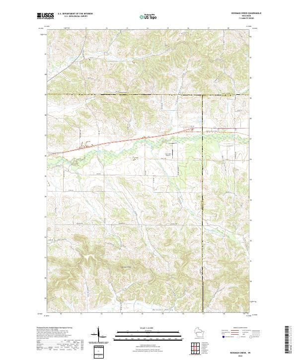
2022 Rossman Creek
Buffalo County, WI
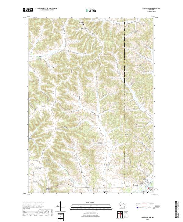
2022 Swinns Valley
Buffalo County, WI
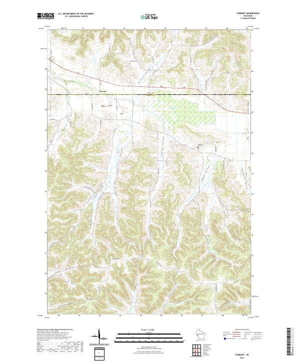
2022 Tarrant
Buffalo County, WI
2022 Urne
Buffalo County, WI