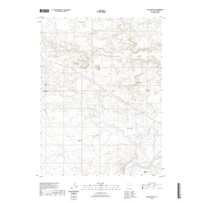
2020 Map of Uteland Butte
USGS Topo · Published 2020About this map
The Uteland Butte rises above a landscape of high desert benches and deep drainage channels in Uintah County. The Green River cuts across the southeastern corner of the map, serving as the primary hydrologic anchor for the surrounding dry plateaus. Large, flat expanses like Leland Bench, Pariette Bench, and Wild Horse Bench dominate the topography, separated by erosion-carved features such as Castle Peak Draw and the Pariette Draw. The transport network is defined by rural corridors including Eight Mile Flat Rd and Pariette Bench Rd, which navigate the open terrain of Eightmile Flat. This modern survey reveals a region shaped by its significant elevation changes and the persistent influence of the river on its arid geography.
Find a feature on this map
17 named features on this map. Tap any name to fly to it.
Don’t see what you’re looking for? This feature index may not catch every label — zoom into the map to look around manually.
Map Details
Editions of this 2020 Uteland Butte Map
This is the sole edition of this map. No revisions or reprints were ever made.
Other maps of this area
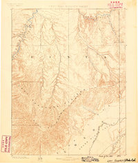
1885 · East Tavaputs
USGS Topo · 1:250,000
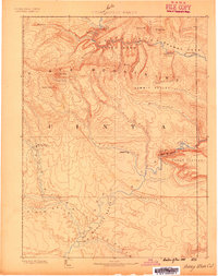
1885 · Ashley
USGS Topo · 1:250,000
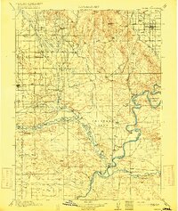
1917 · Vernal
USGS Topo · 1:125,000
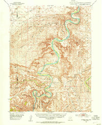
1953 · Nutters Hole
USGS Topo · 1:62,500

1954 · Vernal
USGS Topo · 1:250,000

1956 · Grand Junction
USGS Topo · 1:250,000

1958 · Vernal
USGS Topo · 1:250,000

1959 · Grand Junction
USGS Topo · 1:250,000

1960 · Vernal
USGS Topo · 1:250,000

1960 · Grand Junction
USGS Topo · 1:250,000