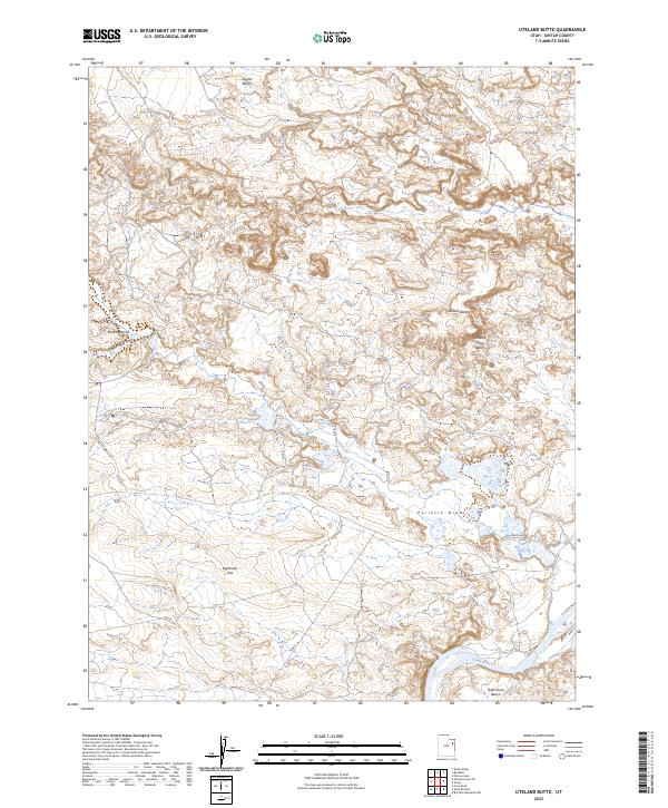
2023 Map of Uteland Butte
USGS Topo · Published 2023About this map
Uteland Butte rises above a landscape defined by seasonal drainages and high plateaus in this 2023 survey of Uintah County. The southern portion of the map is dominated by the Green River, which flows past the elevated Wild Horse Bench. The area is characterized by vast, flat-topped landforms such as Leland Bench and Pariette Bench, separated by deep drainage systems like Pariette Draw and Uteland Butte Wash. This topography illustrates the arid erosional patterns of the region, where roads like Eight Mile Flat Rd and N Pariette Bench Rd navigate between the level benches and the wide, open expanse of Eightmile Flat. The intersection of river systems and desert terrain provides a clear view of the natural corridors used for travel across this high-altitude basin.
Find a feature on this map
12 named features on this map. Tap any name to fly to it.
Don’t see what you’re looking for? This feature index may not catch every label — zoom into the map to look around manually.
Map Details
Editions of this 2023 Uteland Butte Map
This is the sole edition of this map. No revisions or reprints were ever made.
Other maps of this area

1885 · East Tavaputs
USGS Topo · 1:250,000

1885 · Ashley
USGS Topo · 1:250,000

1917 · Vernal
USGS Topo · 1:125,000

1953 · Nutters Hole
USGS Topo · 1:62,500

1954 · Vernal
USGS Topo · 1:250,000

1956 · Grand Junction
USGS Topo · 1:250,000

1958 · Vernal
USGS Topo · 1:250,000

1959 · Grand Junction
USGS Topo · 1:250,000

1960 · Vernal
USGS Topo · 1:250,000

1960 · Grand Junction
USGS Topo · 1:250,000