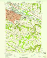
1955 Map of Utica East
USGS Topo · Published 1957About this map
Industrial and transport infrastructure dominates this mid-century view of the Mohawk Valley, where the Erie Canal and New York Central Railroad corridor shapes the urban growth of eastern Utica. The map documents a significant era of postwar expansion, capturing the New York State Thruway while sections were still noted as under construction near Deerfield. South of the river, the landscape transitions from the dense street grids of the city—home to landmarks like the Masonic Home and Munson-Williams-Proctor Institute—to the elevated terrain of Frankfort and Litchfield. Genealogical details abound in the rural uplands, where small schoolhouses like Brockway Sch No 13 and family-named locales such as Baker Corners and Stewart Corners dot the hills. Water management for the growing population is evident through the South Reservoir and Graffenburg Reservoir, while the presence of Highland Airfield reflects mid-century aviation history.
Find a feature on this map
62 named features on this map. Tap any name to fly to it.
Don’t see what you’re looking for? This feature index may not catch every label — zoom into the map to look around manually.
Map Details
Editions of this 1955 Utica East Map
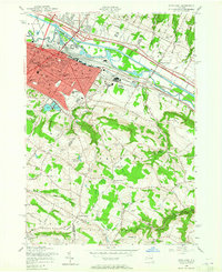
2 editions found
Other maps of this area

1895 · Oriskany
USGS Topo · 1:62,500

1898 · Utica
USGS Topo · 1:62,500

1898 · Oriskany
USGS Topo · 1:62,500

1900 · Utica
USGS Topo · 1:62,500

1907 · Winfield
USGS Topo · 1:62,500

1907 · Sangerfield
USGS Topo · 1:62,500

1943 · Newport
USGS Topo · 1:24,000

1943 · Utica East
USGS Topo · 1:24,000

1943 · Millers Mills
USGS Topo · 1:24,000

1943 · Cassville
USGS Topo · 1:24,000