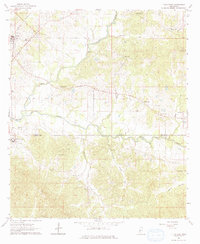
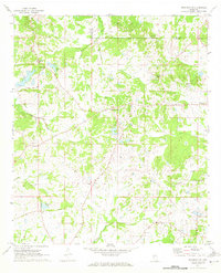
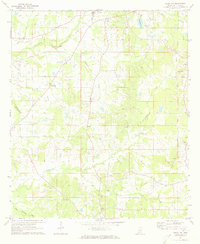
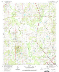
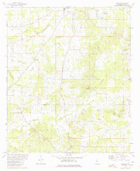
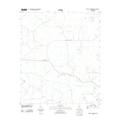
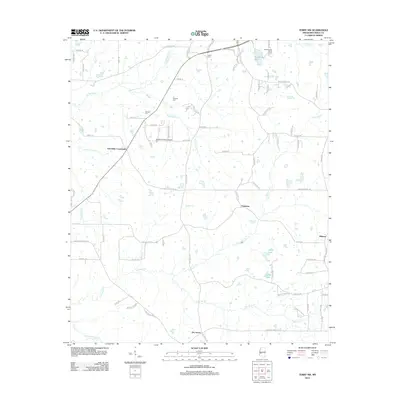
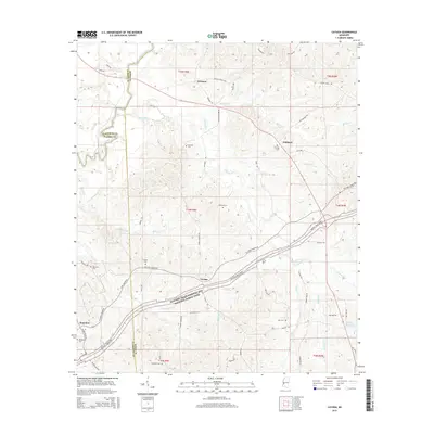
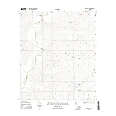
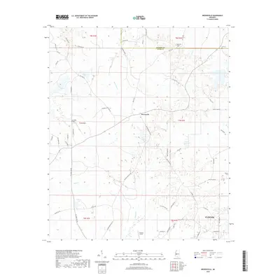
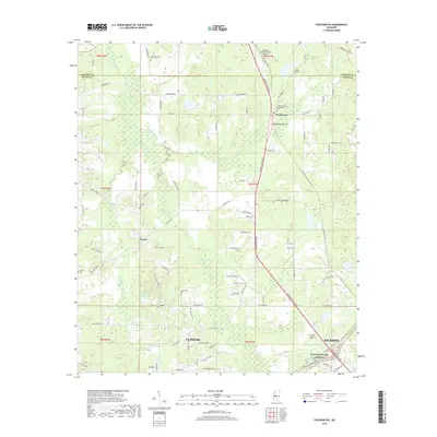
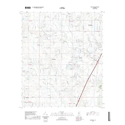
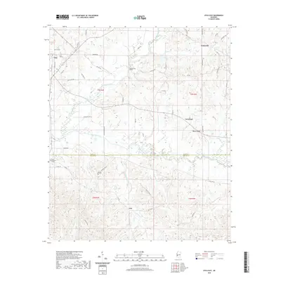
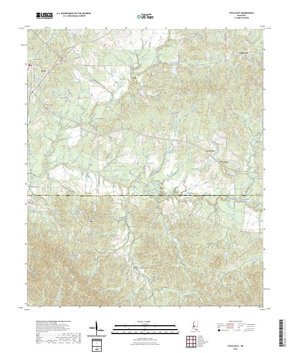
1963 Map of Utica East
USGS Topo · Published 1979About this map
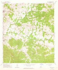
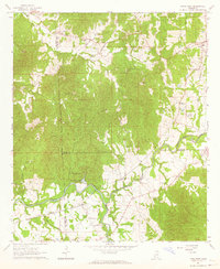
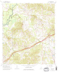
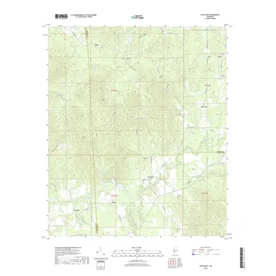
Utica sits at the northwestern edge of this landscape, serving as a focal point for the Illinois Central railroad corridor as it cuts through the rolling terrain of southern Mississippi. The area is defined by the winding paths of Tallahalla Creek and White Oak Creek, which form the natural drainage network across the Hinds and Copiah county line. This mid-century survey reveals a rural landscape deeply rooted in its local institutions, evidenced by the high density of country churches and schools that anchored these communities.
Find a feature on this map
24 named features on this map. Tap any name to fly to it.
Don’t see what you’re looking for? This feature index may not catch every label — zoom into the map to look around manually.
Map Details
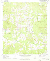
Editions of this 1963 Utica East Map
2 editions found
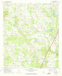
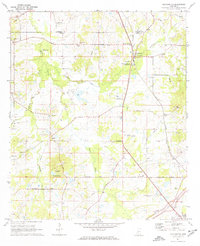
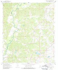
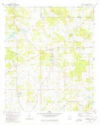
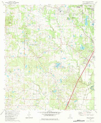
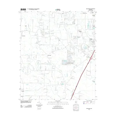
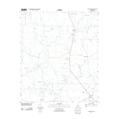
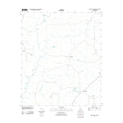
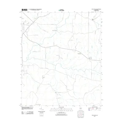
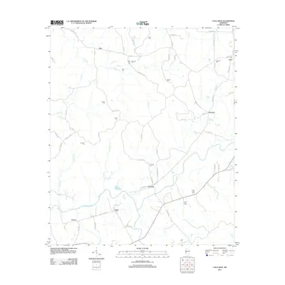
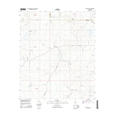
Historical Maps of Utica Through Time
58 maps found
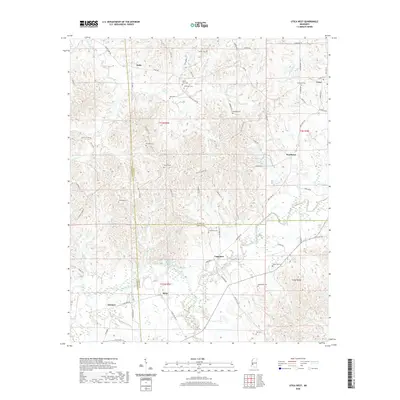
1962 Utica West
Hinds County, MS
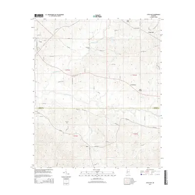
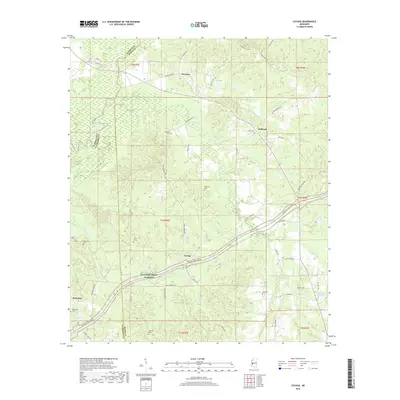
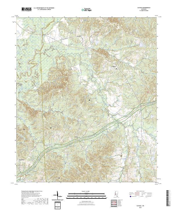
1963 Cayuga
Hinds County, MS
1963 Utica East
Hinds County, MS
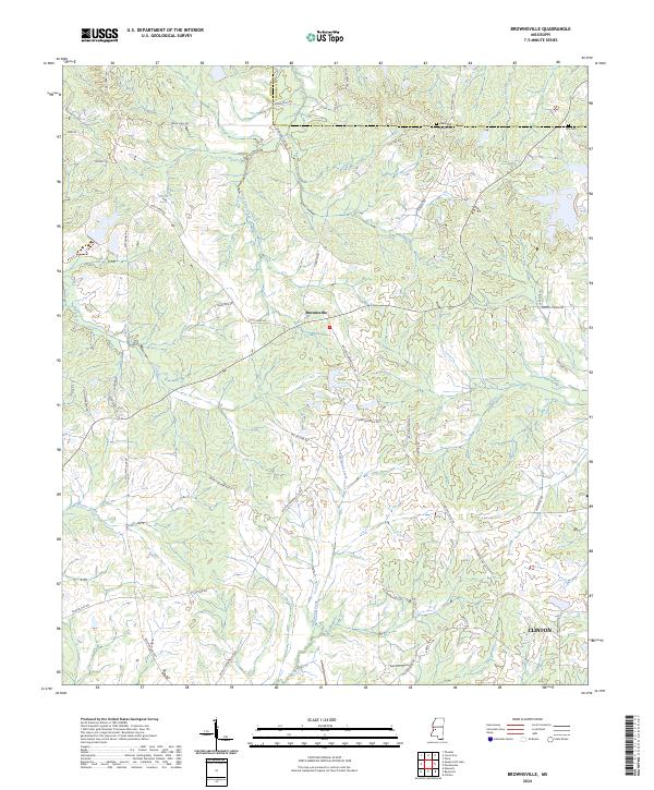
1971 Brownsville
Hinds County, MS
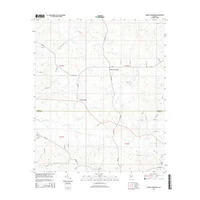
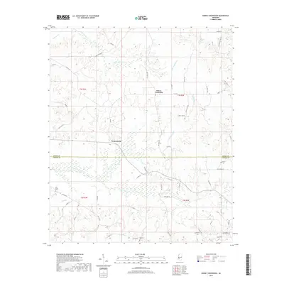
1971 Dabney Crossroads
Hinds County, MS
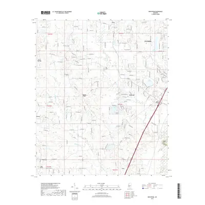
1971 New Byram
Hinds County, MS
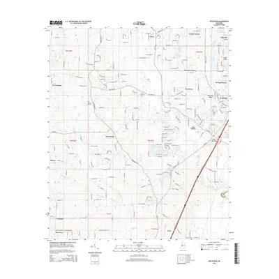
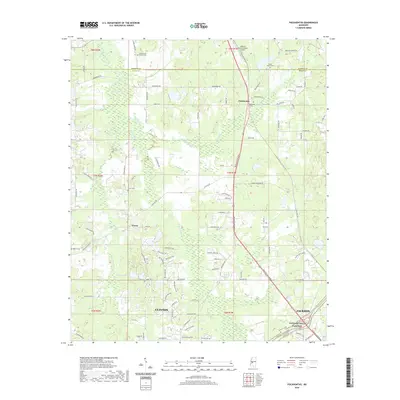
1971 Pocahontas
Hinds County, MS
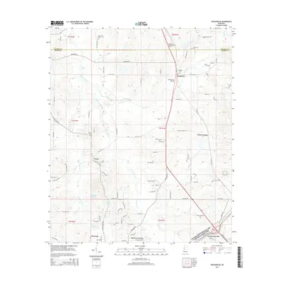
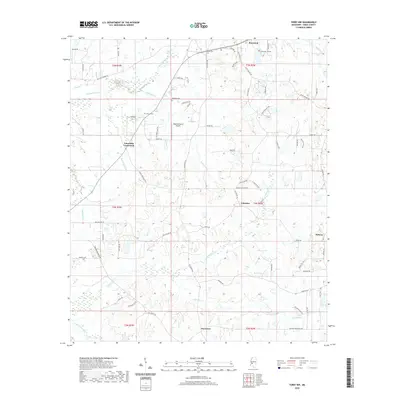
1971 Terry NW
Hinds County, MS
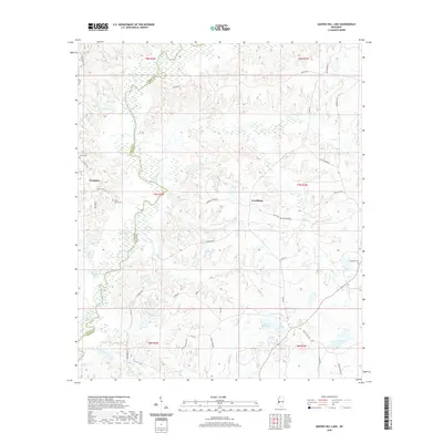
1972 Queens Hill Lake
Hinds County, MS
1980 Brownsville
Hinds County, MS
1980 New Byram
Hinds County, MS
1980 Pocahontas
Hinds County, MS
1980 Terry NW
Hinds County, MS
2012 Brownsville
Hinds County, MS
2012 Cayuga
Hinds County, MS
2012 Dabney Crossroads
Hinds County, MS
2012 New Byram
Hinds County, MS
2012 Pocahontas
Hinds County, MS
2012 Queens Hill Lake
Hinds County, MS
2012 Terry NW
Hinds County, MS
2012 Utica East
Hinds County, MS
2012 Utica West
Hinds County, MS
2015 Brownsville
Hinds County, MS
2015 Cayuga
Hinds County, MS
2015 Dabney Crossroads
Hinds County, MS
2015 New Byram
Hinds County, MS
2015 Pocahontas
Hinds County, MS
2015 Queens Hill Lake
Hinds County, MS
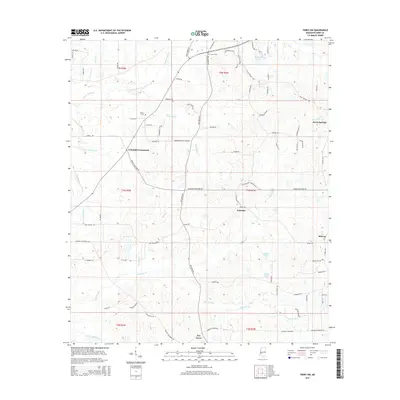
2015 Terry NW
Hinds County, MS
2015 Utica East
Hinds County, MS
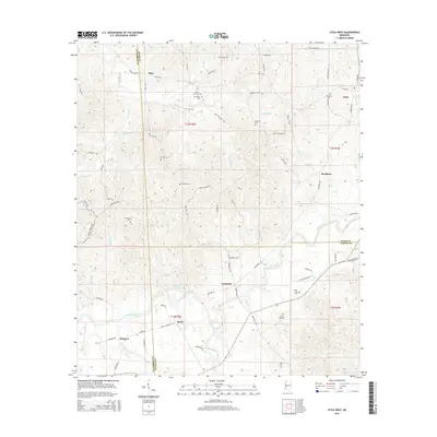
2015 Utica West
Hinds County, MS
2018 Brownsville
Hinds County, MS
2018 Cayuga
Hinds County, MS
2018 Dabney Crossroads
Hinds County, MS
2018 New Byram
Hinds County, MS
2018 Pocahontas
Hinds County, MS
2018 Queens Hill Lake
Hinds County, MS
2018 Terry NW
Hinds County, MS
2018 Utica East
Hinds County, MS
2018 Utica West
Hinds County, MS
2020 Brownsville
Hinds County, MS
2020 Cayuga
Hinds County, MS
2020 Dabney Crossroads
Hinds County, MS
2020 New Byram
Hinds County, MS
2020 Pocahontas
Hinds County, MS
2020 Queens Hill Lake
Hinds County, MS
2020 Terry NW
Hinds County, MS
2020 Utica East
Hinds County, MS
2020 Utica West
Hinds County, MS
2024 Brownsville
Hinds County, MS
2024 Cayuga
Hinds County, MS
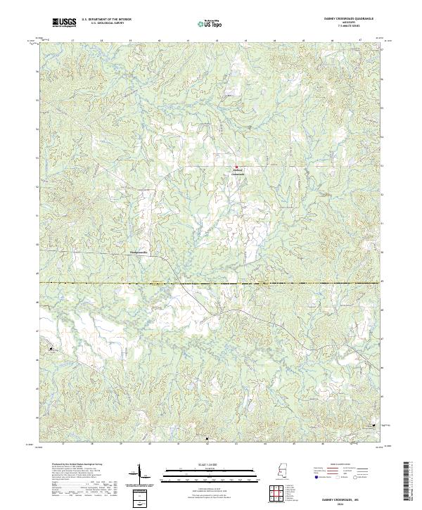
2024 Dabney Crossroads
Hinds County, MS
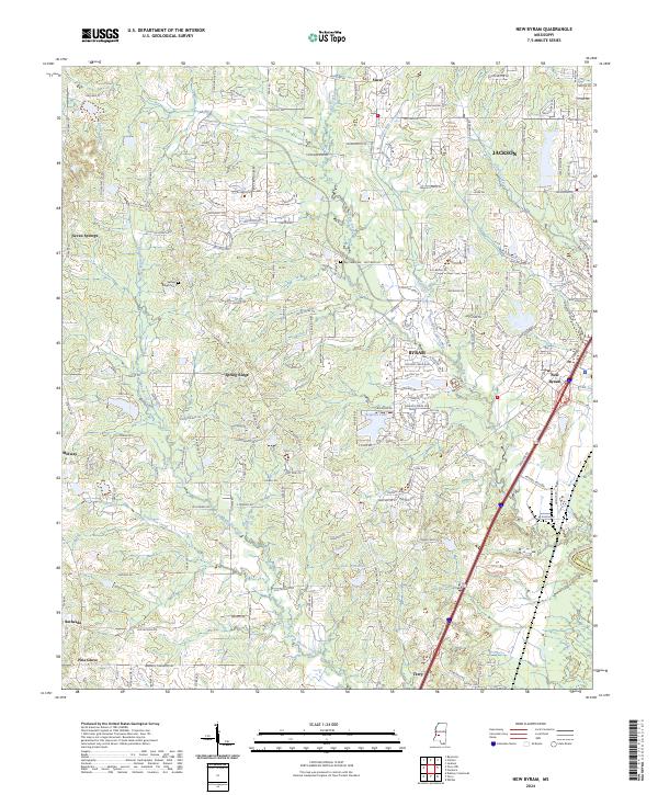
2024 New Byram
Hinds County, MS
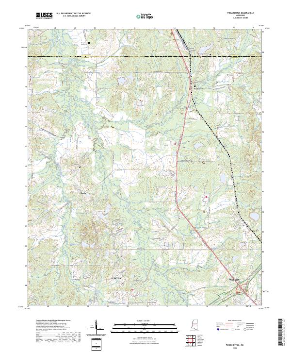
2024 Pocahontas
Hinds County, MS
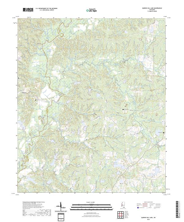
2024 Queens Hill Lake
Hinds County, MS
2024 Terry NW
Hinds County, MS
2024 Utica East
Hinds County, MS
2024 Utica West
Hinds County, MS