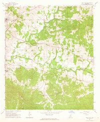
1963 Map of Utica East
USGS Topo · Published 1964About this map
The town of Utica and the campus of Utica Junior College anchor the northwestern portion of this 1963 survey, reflecting the educational and social core of the region at the time. The landscape is defined by the winding paths of White Oak Creek and Tallahalla Creek, which create a complex drainage system across the border of Hinds and Copiah Counties. This mid-century view captures the area's rural character through a dense network of country churches and family burial grounds, including Little Rock Ch Cem and St John Ch Cem.
Find a feature on this map
29 named features on this map. Tap any name to fly to it.
Don’t see what you’re looking for? This feature index may not catch every label — zoom into the map to look around manually.
Map Details
Editions of this 1963 Utica East Map
2 editions found
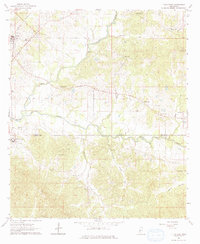
Other maps of this area

1903 · Jackson
USGS Topo · 1:125,000

1937 · Terry
USGS Topo · 1:48,000

1943 · Terry
USGS Topo · 1:62,500

1953 · Natchez
USGS Topo · 1:250,000

1955 · Jackson
USGS Topo · 1:250,000

1956 · Natchez
USGS Topo · 1:250,000

1959 · Natchez
USGS Topo · 1:250,000

1961 · Jackson
USGS Topo · 1:250,000

1962 · Jackson
USGS Topo · 1:250,000

1962 · Utica West
USGS Topo · 1:24,000