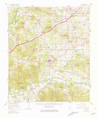
1965 Map of Utica
USGS Topo · Published 1981About this map
Utica Junior College and the town of Utica serve as the central hub of this Mississippi landscape, which is defined by a dense network of country churches and small rural settlements during the mid-1960s. The Illinois Central railroad cuts through the terrain, connecting communities like Learned, Adams, and Carmichael. A notable historical detail is the Old Treaty Boundary line that traverses the southern half of the map, marking a legacy of early territorial divisions.
Find a feature on this map
113 named features on this map. Tap any name to fly to it.
Don’t see what you’re looking for? This feature index may not catch every label — zoom into the map to look around manually.
Map Details
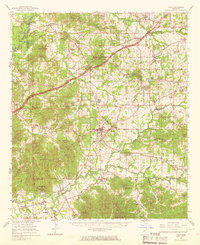
Editions of this 1965 Utica Map
2 editions found
Other maps of this area

1903 · Jackson
USGS Topo · 1:125,000

1918 · Vicksburg
USGS Topo · 1:62,500

1934 · Raymond
USGS Topo · 1:48,000

1937 · Raymond
USGS Topo · 1:62,500

1937 · Terry
USGS Topo · 1:48,000

1938 · Edwards
USGS Topo · 1:62,500

1939 · Yokena
USGS Topo · 1:62,500

1941 · Vicksburg
USGS Topo · 1:62,500

1942 · Raymond
USGS Topo · 1:62,500

1943 · Terry
USGS Topo · 1:62,500