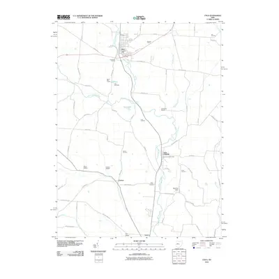
2010 Map of Utica
USGS Topo · Published 2010About this map
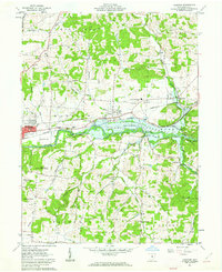
Utica and Saint Louisville anchor the corridor of the North Fork Licking River in Licking County, where the agricultural traditions of central Ohio remain clearly etched into the landscape. Small rural clusters like Chatham and Vanatta are situated along the winding paths of Clear Fork Licking River and Lake Fork Licking River, reflecting a settlement pattern deeply tied to the local hydrology. This 2010 topographic record highlights the continued importance of land use in the region, noting significant agricultural operations such as Branstool Orchard and Legend Hills Orchard.
Find a feature on this map
70 named features on this map. Tap any name to fly to it.
Don’t see what you’re looking for? This feature index may not catch every label — zoom into the map to look around manually.
Map Details
Editions of this 2010 Utica Map
This is the sole edition of this map. No revisions or reprints were ever made.
Other maps of this area

1908 · Granville
USGS Topo · 1:62,500

1909 · Newark
USGS Topo · 1:62,500

1910 · Granville
USGS Topo · 1:62,500

1912 · Gambier
USGS Topo · 1:62,500

1914 · Gambier
USGS Topo · 1:62,500
1915 · Fredericktown
USGS Topo · 1:62,500
1943 · Gambier
USGS Topo · 1:62,500
1943 · Fredericktown
USGS Topo · 1:62,500

1950 · Marion
USGS Topo · 1:250,000
1961 · Hanover
USGS Topo · 1:24,000