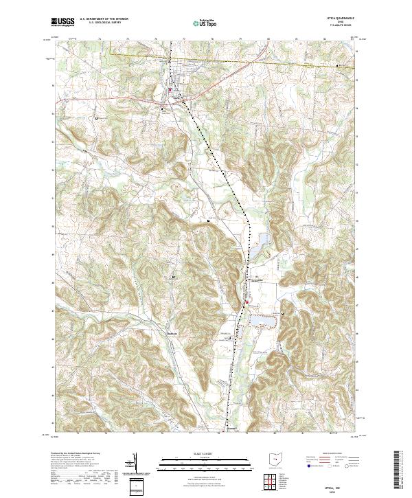
2023 Map of Utica
USGS Topo · Published 2023About this map
Utica and St. Louisville serve as the primary hubs in this portion of Licking County, where the branching tributaries of the Licking River dictate the layout of the land. The North Fork Licking River runs centrally through the quadrangle, flanked by several smaller settlements like Chatham and Vanatta. The landscape is deeply carved by numerous hollows, including Preston Hollow and Hog Hollow, which reveal a complex topography of ridges and valleys that have historically influenced road placement and property boundaries. Genealogists will find a wealth of local history preserved in the numerous burying grounds scattered across the township lines, such as Saint Joseph Cem, North Lawn Cem, and Marple Cem. This 2023 survey documents the contemporary rural character of the region, anchored by established water features like Smoot Lake and Hoar Pond.
Find a feature on this map
103 named features on this map. Tap any name to fly to it.
Don’t see what you’re looking for? This feature index may not catch every label — zoom into the map to look around manually.
Map Details
Editions of this 2023 Utica Map
This is the sole edition of this map. No revisions or reprints were ever made.
Other maps of this area

1908 · Granville
USGS Topo · 1:62,500

1909 · Newark
USGS Topo · 1:62,500

1910 · Granville
USGS Topo · 1:62,500

1912 · Gambier
USGS Topo · 1:62,500

1914 · Gambier
USGS Topo · 1:62,500

1915 · Fredericktown
USGS Topo · 1:62,500

1943 · Gambier
USGS Topo · 1:62,500

1943 · Fredericktown
USGS Topo · 1:62,500

1950 · Marion
USGS Topo · 1:250,000

1961 · Hanover
USGS Topo · 1:24,000