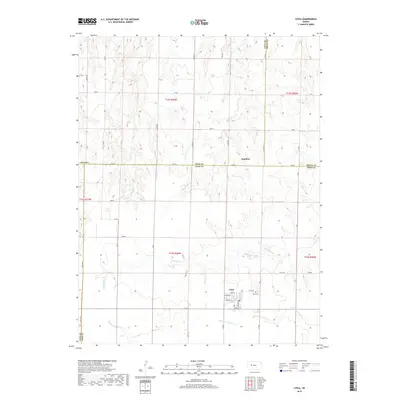
2018 Map of Utica
USGS Topo · Published 2018About this map
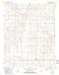
Utica sits as a primary settlement in this western Kansas landscape, characterized by its precise grid of streets including Bell St, Lincoln St, and Stanley St. The town is supported by a network of rural roads such as W 270 Rd and N E Rd that connect the scattered farmsteads of Ness County. Northeast of the main town site, the community's history is anchored by the Utica Cem. Northward across the county line in Gove County lies the small settlement of Alanthus, positioned near the headwaters of the regional drainage system. The terrain is defined by the carved paths of numerous seasonal waterways, most notably the winding courses of Wild Horse Cr, Big Windy Cr, and the N Fork Forrester Cr. These creeks create a rolling topography that contrasts with the geometric precision of the township and range survey lines.
Find a feature on this map
46 named features on this map. Tap any name to fly to it.
Don’t see what you’re looking for? This feature index may not catch every label — zoom into the map to look around manually.
Map Details
Editions of this 2018 Utica Map
This is the sole edition of this map. No revisions or reprints were ever made.
Other maps of this area

1955 · Scott City
USGS Topo · 1:250,000

1958 · Scott City
USGS Topo · 1:250,000
1965 · Utica SW
USGS Topo · 1:24,000
1966 · Utica SE
USGS Topo · 1:24,000
1974 · Gove SE
USGS Topo · 1:24,000
1974 · Castle Rock
USGS Topo · 1:24,000
1974 · Gibson Creek
USGS Topo · 1:24,000
1974 · Pendennis
USGS Topo · 1:24,000
1974 · Shields SE
USGS Topo · 1:24,000
1981 · Arnold
USGS Topo · 1:24,000