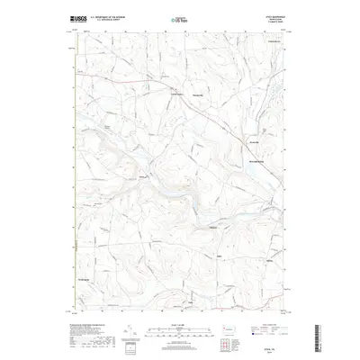
2019 Map of Utica
USGS Topo · Published 2019About this map
French Creek winds through this section of Venango County, anchoring a landscape of small settlements and rural crossroads in the Sugarcreek region. The borough of Utica sits at a prominent bend in the creek, connected to neighboring Canal Center and Hannasville by a network of local roads such as Utica Rd. To the south, the borough of Polk is situated near the confluence of Little Sandy Creek and Little Sandy Creek, highlighting the importance of these waterways to the area's historical development and settlement patterns.
Find a feature on this map
110 named features on this map. Tap any name to fly to it.
Don’t see what you’re looking for? This feature index may not catch every label — zoom into the map to look around manually.
Map Details
Editions of this 2019 Utica Map
This is the sole edition of this map. No revisions or reprints were ever made.
Other maps of this area

1909 · Franklin
USGS Topo · 1:62,500

1911 · Franklin
USGS Topo · 1:62,500

1911 · Stoneboro
USGS Topo · 1:62,500

1913 · Stoneboro
USGS Topo · 1:62,500

1923 · Meadville
USGS Topo · 1:62,500

1925 · Meadville
USGS Topo · 1:62,500

1927 · Townville
USGS Topo · 1:48,000

1932 · Townville
USGS Topo · 1:62,500

1943 · Meadville
USGS Topo · 1:62,500

1943 · Stoneboro
USGS Topo · 1:62,500