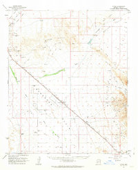
1962 Map of Utting
USGS Topo · Published 1963About this map
The Atchison Topeka and Santa Fe railroad corridor defines the development of this desert landscape in the early 1960s, cutting a diagonal path through the Ran Egras Plain. Small railway-dependent settlements like Utting and McVay are documented alongside specialized infrastructure, including an Airstrip, a Substation, and remote outposts such as Haynes Farm and Swadley Well. These sites highlight the logistical challenges of sustaining life and transit in the arid expanse between the Bouse Hills and the Granite Mountains.
Find a feature on this map
22 named features on this map. Tap any name to fly to it.
Don’t see what you’re looking for? This feature index may not catch every label — zoom into the map to look around manually.
Map Details
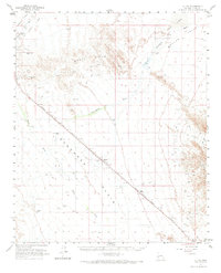
Editions of this 1962 Utting Map
2 editions found
Other maps of this area

1911 · Parker
USGS Topo · 1:125,000

1923 · Signal
USGS Topo · 1:250,000

1930 · Linskey
USGS Topo · 1:62,500

1942 · Signal
USGS Topo · 1:250,000

1942 · Blythe
USGS Topo · 1:250,000

1942 · Vicksburg
USGS Topo · 1:250,000

1950 · Prescott
USGS Topo · 1:250,000

1954 · Salton Sea
USGS Topo · 1:250,000

1954 · Needles
USGS Topo · 1:250,000

1954 · Prescott
USGS Topo · 1:250,000