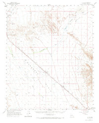
1962 Map of Utting
USGS Topo · Published 1973About this map
The Atchison Topeka and Santa Fe railroad corridor cuts a diagonal path across this desert landscape, linking the small sidings and settlements of Utting and McVay. This region is defined by the expansive Ran Egras Plain and the Bouse Hills, where resource extraction is evident at the Barber Gene Mine and Blackbird Mine. Agriculture and water management in this arid environment are represented by Haynes Farm and Swadley Well, along with various water tanks scattered near the rail line.
Find a feature on this map
24 named features on this map. Tap any name to fly to it.
Don’t see what you’re looking for? This feature index may not catch every label — zoom into the map to look around manually.
Map Details
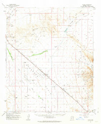
Editions of this 1962 Utting Map
2 editions found
Other maps of this area

1911 · Parker
USGS Topo · 1:125,000

1923 · Signal
USGS Topo · 1:250,000

1930 · Linskey
USGS Topo · 1:62,500

1942 · Signal
USGS Topo · 1:250,000

1942 · Blythe
USGS Topo · 1:250,000

1942 · Vicksburg
USGS Topo · 1:250,000

1950 · Prescott
USGS Topo · 1:250,000

1954 · Salton Sea
USGS Topo · 1:250,000

1954 · Needles
USGS Topo · 1:250,000

1954 · Prescott
USGS Topo · 1:250,000