
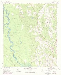
1970 Map of Uvalda
USGS Topo · Published 1973About this map
The Oconee River defines the western edge of this landscape, its winding channel marking the boundary between Wheeler and Montgomery Counties. The river's oxbows and floodplains, including the namesake Dead River, contrast with the upland agricultural and timber lands to the east. The town of Uvalda serves as the primary hub, situated at the intersection of local roads and the Central of Georgia rail line. Smaller settlements like Charlotteville and Long Pond appear nearby, reflecting the rural social structure of the early 1970s.
Find a feature on this map
28 named features on this map. Tap any name to fly to it.
Don’t see what you’re looking for? This feature index may not catch every label — zoom into the map to look around manually.
Map Details
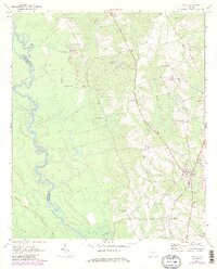
Editions of this 1970 Uvalda Map
3 editions found
Other maps of this area

1953 · Waycross
USGS Topo · 1:250,000

1957 · Macon
USGS Topo · 1:250,000

1958 · Macon
USGS Topo · 1:250,000

1958 · Waycross
USGS Topo · 1:250,000

1964 · Macon
USGS Topo · 1:250,000

1970 · Glenwood
USGS Topo · 1:24,000

1970 · Alston
USGS Topo · 1:24,000

1970 · Mount Vernon
USGS Topo · 1:24,000

1970 · Vidalia
USGS Topo · 1:24,000

1970 · Jordan
USGS Topo · 1:24,000