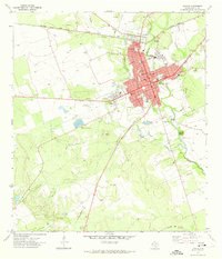
1971 Map of Uvalde
USGS Topo · Published 1974About this map
Fort Inge (Historical Site) sits south of the main settlement at the base of Inge Mtn, marking a significant historical anchor near the Leona River. In the early 1970s, Uvalde serves as a regional hub defined by its grid layout and the presence of the Southern Pacific railroad running across the northern landscape. The map reveals a community well-served by civic and educational institutions, from the Honey Bowl Stadium to several local schools like Benson Sch and Robb Sch. The surrounding terrain is a mix of natural waterways and industrial development, including the Uvalde National Fish Hatchery and several gravel pits. Notable transportation infrastructure such as the Old Railroad Grade and the Uvalde Test Track suggest a landscape shaped by both its transit history and contemporary technical use.
Find a feature on this map
38 named features on this map. Tap any name to fly to it.
Don’t see what you’re looking for? This feature index may not catch every label — zoom into the map to look around manually.
Map Details
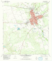
Editions of this 1971 Uvalde Map
2 editions found
Other maps of this area

1898 · Uvalde
USGS Topo · 1:125,000

1899 · Uvalde
USGS Topo · 1:125,000

1954 · San Antonio
USGS Topo · 1:250,000

1957 · San Antonio
USGS Topo · 1:250,000
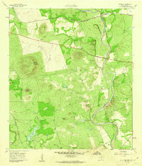
1960 · Hacienda
USGS Topo · 1:24,000
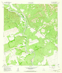
1960 · Chalk Bluff
USGS Topo · 1:24,000

1960 · Pulliam Ranch
USGS Topo · 1:24,000
1960 · Sand Mountain
USGS Topo · 1:24,000
1971 · Sevenmile Hill
USGS Topo · 1:24,000
1971 · Garner Field
USGS Topo · 1:24,000