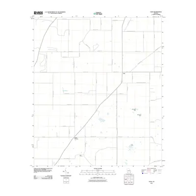
2011 Map of Vada
USGS Topo · Published 2011About this map
Mount Pleasant and Vada anchor this rural landscape in southwestern Georgia, where the road network reveals a deeply rooted agricultural and community structure. Family and local history are etched into the names of the thoroughfares, such as Andrew Avery Rd, Harrell Rd, and Burnum Rd. The geography is notably shaped by karst topography, indicated by distinct geological features like Little Rock Sink and Big Rock Sink.
Find a feature on this map
52 named features on this map. Tap any name to fly to it.
Don’t see what you’re looking for? This feature index may not catch every label — zoom into the map to look around manually.
Map Details
Editions of this 2011 Vada Map
This is the sole edition of this map. No revisions or reprints were ever made.
Other maps of this area

1953 · Dothan
USGS Topo · 1:250,000

1954 · Dothan
USGS Topo · 1:250,000

1954 · Tallahassee
USGS Topo · 1:250,000

1955 · Dothan
USGS Topo · 1:250,000

1955 · Bainbridge
USGS Topo · 1:62,500

1955 · Whigham
USGS Topo · 1:62,500

1959 · Tallahassee
USGS Topo · 1:250,000

1960 · Tallahassee
USGS Topo · 1:250,000

1971 · Gee Pond
USGS Topo · 1:24,000

1971 · Vada
USGS Topo · 1:24,000