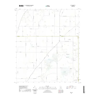
2020 Map of Vada
USGS Topo · Published 2020About this map
Vada sits at the junction of Decatur and Mitchell counties, serving as a focal point in a landscape defined by significant karst topography and agricultural drainage. The terrain is notably marked by geological features such as Little Rock Sink and Big Rock Sink, along with the expansive marshy environment of Big Slough. This modern survey reveals a region where traditional land use meets specialized infrastructure, evidenced by the presence of both Vada Airport and Anderson Airport. Local history and genealogy are preserved in the landscape through sites like Brock Cem, while the extensive network of rural roads, including Fathers Home Church Rd and Delwood Church Rd, illustrates the continued importance of church-centered communities in this part of Georgia. The southern portion of the map is dominated by a distinctive low-lying wetland area known as The Level.
Find a feature on this map
57 named features on this map. Tap any name to fly to it.
Don’t see what you’re looking for? This feature index may not catch every label — zoom into the map to look around manually.
Map Details
Editions of this 2020 Vada Map
This is the sole edition of this map. No revisions or reprints were ever made.
Other maps of this area

1953 · Dothan
USGS Topo · 1:250,000

1954 · Dothan
USGS Topo · 1:250,000

1954 · Tallahassee
USGS Topo · 1:250,000

1955 · Dothan
USGS Topo · 1:250,000

1955 · Bainbridge
USGS Topo · 1:62,500

1955 · Whigham
USGS Topo · 1:62,500

1959 · Tallahassee
USGS Topo · 1:250,000

1960 · Tallahassee
USGS Topo · 1:250,000

1971 · Gee Pond
USGS Topo · 1:24,000

1971 · Vada
USGS Topo · 1:24,000