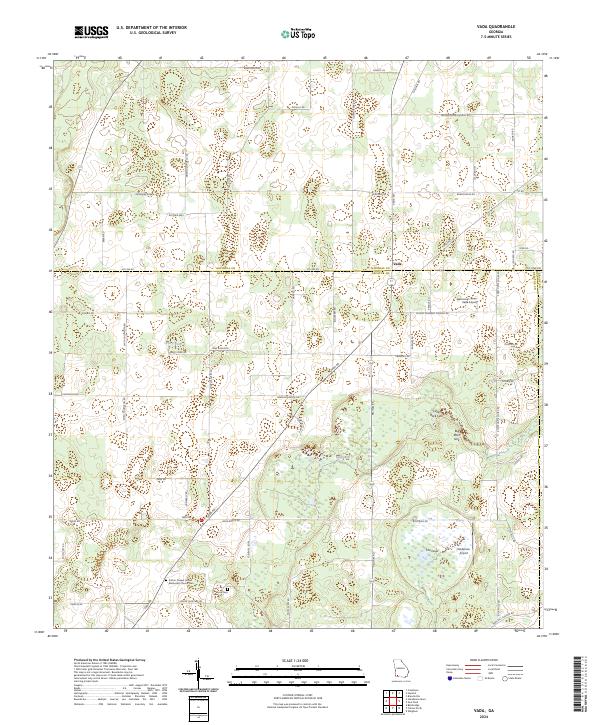
2024 Map of Vada
USGS Topo · Published 2024About this map
Vada sits at the intersection of several regional routes in this southwest Georgia landscape, where the agricultural flats of Mitchell Co and Decatur Co converge. The terrain is defined by distinct karst features and wetlands, including Big Slough, Little Rock Sink, and Big Rock Sink, which illustrate the unique hydrology of the area. Local history and genealogy are centered around long-standing community landmarks such as the Sutton Chapel United Methodist Church Cem and Brock Cem. Small-scale aviation is represented by Vada Airport and Anderson Airport, reflecting the rural character and the logistical needs of the farming community. The network of family-named roads like Smith Thompson Rd and Newsome Brock Rd suggests a landscape shaped by generations of local residents and agricultural estates.
Find a feature on this map
62 named features on this map. Tap any name to fly to it.
Don’t see what you’re looking for? This feature index may not catch every label — zoom into the map to look around manually.
Map Details
Editions of this 2024 Vada Map
This is the sole edition of this map. No revisions or reprints were ever made.
Other maps of this area

1953 · Dothan
USGS Topo · 1:250,000

1954 · Dothan
USGS Topo · 1:250,000

1954 · Tallahassee
USGS Topo · 1:250,000

1955 · Dothan
USGS Topo · 1:250,000

1955 · Bainbridge
USGS Topo · 1:62,500

1955 · Whigham
USGS Topo · 1:62,500

1959 · Tallahassee
USGS Topo · 1:250,000

1960 · Tallahassee
USGS Topo · 1:250,000

1971 · Gee Pond
USGS Topo · 1:24,000

1971 · Vada
USGS Topo · 1:24,000