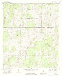
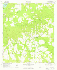
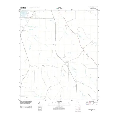
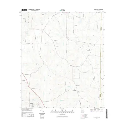
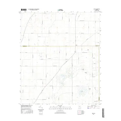
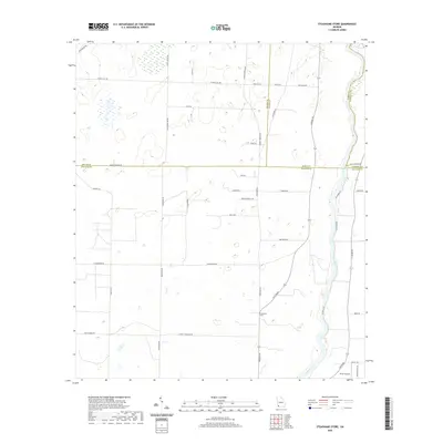
1971 Map of Vada
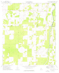
USGS Topo · Published 1991About this map
The borderlands of Mitchell and Decatur counties center on the small settlement of Vada, where local life in the early 1970s was anchored by numerous country churches and cemeteries. This survey reveals a landscape shaped by karst topography, notably the Big Slough and unique depressions like Little Rock Sink and Big Rock Sink. To the south, an area known as The Level provides a sharp contrast to the more undulating terrain found near the county lines.
Find a feature on this map
22 named features on this map. Tap any name to fly to it.
Don’t see what you’re looking for? This feature index may not catch every label — zoom into the map to look around manually.
Map Details
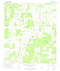
Editions of this 1971 Vada Map
2 editions found
Historical Maps of Mount Pleasant Through Time
30 maps found
1971 Vada
Decatur County, GA
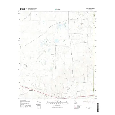
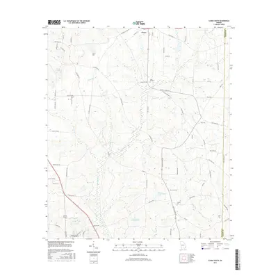
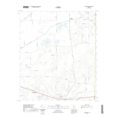
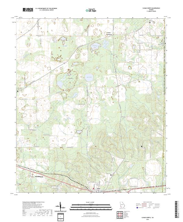
1974 Climax North
Decatur County, GA
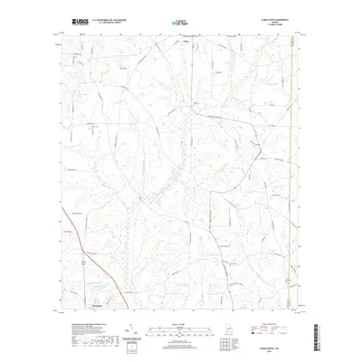
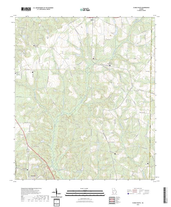
1974 Climax South
Decatur County, GA
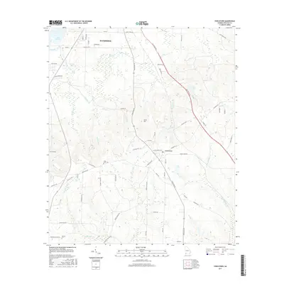
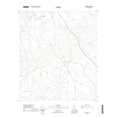
1974 Fowlstown
Decatur County, GA
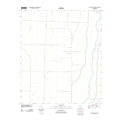
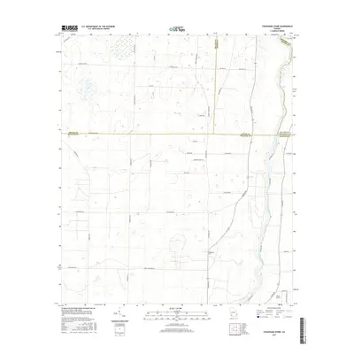
1974 Steinham Store
Decatur County, GA
2011 Climax North
Decatur County, GA
2011 Climax South
Decatur County, GA
2011 Fowlstown
Decatur County, GA
2011 Steadhams Store
Decatur County, GA
2011 Vada
Decatur County, GA
2014 Climax North
Decatur County, GA
2014 Climax South
Decatur County, GA
2014 Fowlstown
Decatur County, GA
2014 Steadhams Store
Decatur County, GA
2014 Vada
Decatur County, GA
2017 Climax North
Decatur County, GA
2017 Climax South
Decatur County, GA
2017 Fowlstown
Decatur County, GA
2017 Steadhams Store
Decatur County, GA
2017 Vada
Decatur County, GA
2020 Climax North
Decatur County, GA
2020 Climax South
Decatur County, GA
2020 Fowlstown
Decatur County, GA
2020 Steadhams Store
Decatur County, GA
2020 Vada
Decatur County, GA
2024 Climax North
Decatur County, GA
2024 Climax South
Decatur County, GA
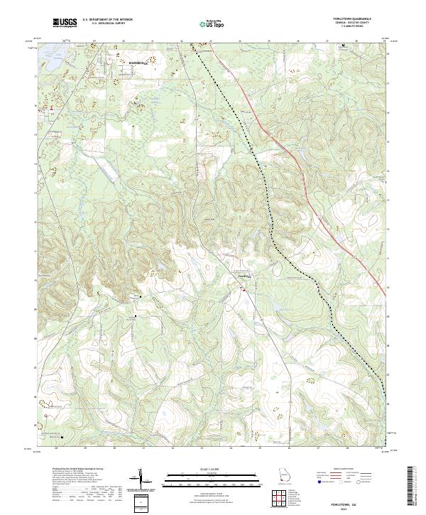
2024 Fowlstown
Decatur County, GA
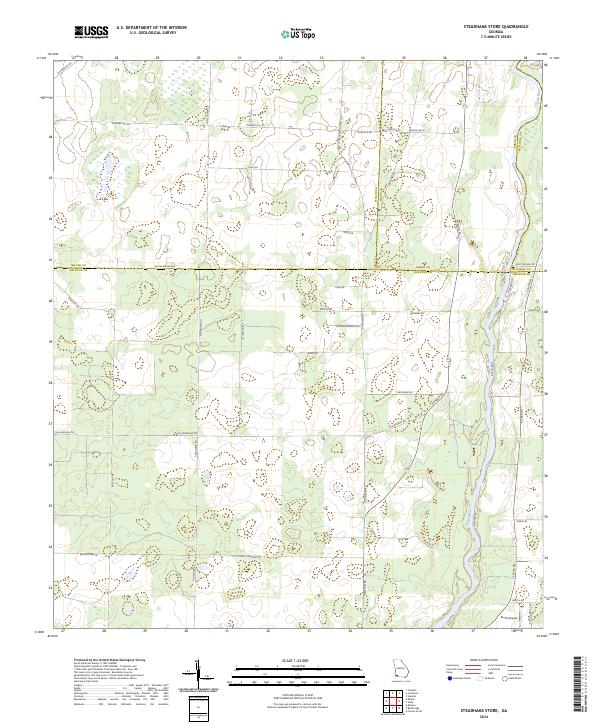
2024 Steadhams Store
Decatur County, GA
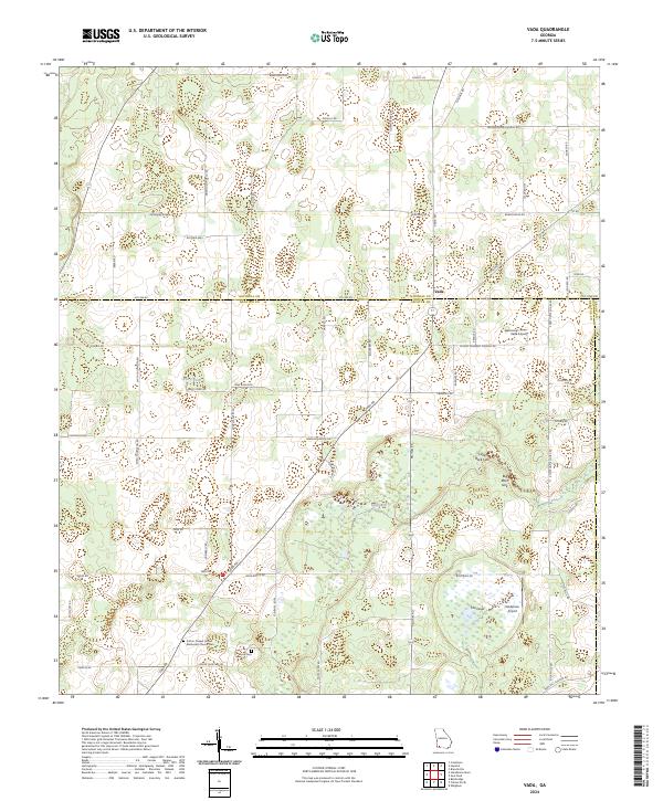
2024 Vada
Decatur County, GA