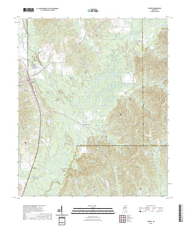
2024 Map of Vaiden
USGS Topo · Published 2024About this map
The Carroll County Courthouse - Vaiden serves as a prominent landmark in this Carroll County seat, where the street grid of Vaiden meets the natural flow of Hurricane Creek. The landscape is defined by the extensive winding path of the Big Black River, which forms the boundary between Carroll and Montgomery counties to the east, and Carroll and Attala counties to the south. Historically significant river crossings are documented by labels for Denmans Ferry and Kirkwood Ferry, suggesting the long-standing importance of these water routes for regional transport before modern bridge networks became dominant.
Find a feature on this map
70 named features on this map. Tap any name to fly to it.
Don’t see what you’re looking for? This feature index may not catch every label — zoom into the map to look around manually.
Map Details
Editions of this 2024 Vaiden Map
This is the sole edition of this map. No revisions or reprints were ever made.
Other maps of this area

1953 · West Point
USGS Topo · 1:250,000

1958 · West Point
USGS Topo · 1:250,000

1963 · West Point
USGS Topo · 1:250,000
1964 · West
USGS Topo · 1:24,000
1964 · Kosciusko NE
USGS Topo · 1:24,000
1964 · Hesterville
USGS Topo · 1:24,000
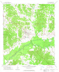
1966 · Kilmichael
USGS Topo · 1:24,000
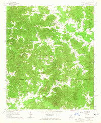
1966 · Poplar Creek
USGS Topo · 1:24,000
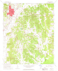
1966 · Winona
USGS Topo · 1:24,000
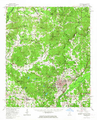
1966 · Kosciusko
USGS Topo · 1:62,500