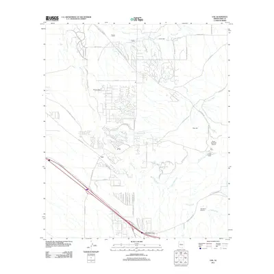
2011 Map of Vail
USGS Topo · Published 2011About this map
Vail and the surrounding desert landscape south of the Rincon Mountains show significant residential growth in the early 21st century. The expansion of Rancho del Lago and the development within Rincon Valley illustrate the modern transformation of former ranching land into suburban communities. Traditional landmarks like the Rocking K Ranch, N Lazy H Ranch, and La Posta Quemada Ranch remain as markers of the area's pastoral history.
Find a feature on this map
71 named features on this map. Tap any name to fly to it.
Don’t see what you’re looking for? This feature index may not catch every label — zoom into the map to look around manually.
Map Details
Editions of this 2011 Vail Map
This is the sole edition of this map. No revisions or reprints were ever made.
Other maps of this area

1904 · Patagonia
USGS Topo · 1:125,000

1904 · Tucson
USGS Topo · 1:125,000

1905 · Patagonia
USGS Topo · 1:125,000

1905 · Tucson
USGS Topo · 1:125,000

1926 · Helvetia
USGS Topo · 1:62,500

1948 · Tucson
USGS Topo · 1:62,500

1956 · Nogales
USGS Topo · 1:250,000

1956 · Tucson
USGS Topo · 1:250,000

1957 · Tucson East
USGS Topo · 1:24,000

1957 · Tucson
USGS Topo · 1:62,500