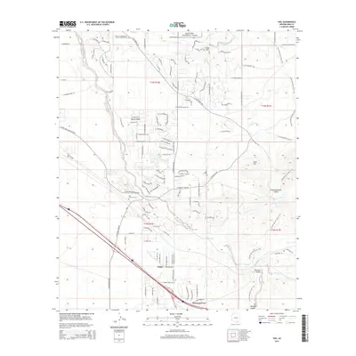
2014 Map of Vail
USGS Topo · Published 2014About this map
Vail and the surrounding desert landscape are captured here as residential growth extends south of Saguaro National Park. The map details the transition from the protected wilderness of the park into the planned communities of Rincon Valley and Loma Alta. Significant local landmarks include the Vail Childrens' Cem and the Rincon Congregational Church Columbarium, providing valuable data for genealogists. The terrain is defined by the winding courses of Cienega Cr and Pantano Wash, which contrast with the steep elevations of Pisto Hill and Posta Quemada Canyon. The presence of the Esmond railroad site and the Arizona National Scenic Trail highlights the area's dual identity as a transportation corridor and a recreational destination during the early twenty-first century.
Find a feature on this map
109 named features on this map. Tap any name to fly to it.
Don’t see what you’re looking for? This feature index may not catch every label — zoom into the map to look around manually.
Map Details
Editions of this 2014 Vail Map
This is the sole edition of this map. No revisions or reprints were ever made.
Other maps of this area

1904 · Patagonia
USGS Topo · 1:125,000

1904 · Tucson
USGS Topo · 1:125,000

1905 · Patagonia
USGS Topo · 1:125,000

1905 · Tucson
USGS Topo · 1:125,000

1926 · Helvetia
USGS Topo · 1:62,500

1948 · Tucson
USGS Topo · 1:62,500

1956 · Nogales
USGS Topo · 1:250,000

1956 · Tucson
USGS Topo · 1:250,000

1957 · Tucson East
USGS Topo · 1:24,000

1957 · Tucson
USGS Topo · 1:62,500