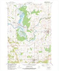
1978 Map of Valders
USGS Topo · Published 1979About this map
Collins Marsh State Wildlife Management Area dominates the northern landscape of this Manitowoc County survey, where the Soo Line railroad tracks skirt the eastern edge of the swampy terrain near Collins. The Manitowoc River meanders across the central portion of the map, passing through Cato Falls and under the rail lines as it flows toward the eastern townships. The settlement of Valders is shown in detail, including its local industry such as a large Quarry and proximity to the Valders Cem.
Find a feature on this map
38 named features on this map. Tap any name to fly to it.
Don’t see what you’re looking for? This feature index may not catch every label — zoom into the map to look around manually.
Map Details
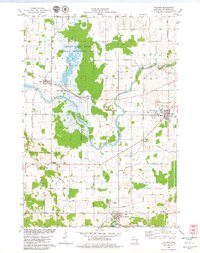
Editions of this 1978 Valders Map
2 editions found
Other maps of this area

1954 · School Hill
USGS Topo · 1:24,000

1954 · St. Wendel
USGS Topo · 1:24,000

1954 · Howards Grove
USGS Topo · 1:62,500

1954 · Chilton
USGS Topo · 1:62,500

1954 · Reedsville
USGS Topo · 1:62,500

1954 · Kiel
USGS Topo · 1:62,500

1954 · Milwaukee
USGS Topo · 1:250,000

1954 · Manitowoc
USGS Topo · 1:250,000

1955 · Green Bay
USGS Topo · 1:250,000

1957 · Madison
USGS Topo · 1:250,000