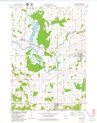
1978 Map of Valders
USGS Topo · Published 1979About this map
Collins Marsh State Wildlife Management Area dominates the western landscape of this 1970s survey, illustrating the significant preservation of wetlands along Mud Creek. The Manitowoc River meanders through the central terrain, passing the rocky feature at Cato Falls and several active Quarry sites that underscore the local geology. Human settlement is concentrated in the village of Valders and the historic community of St Nazianz, where Lake Oschwald provides a focal point near the southern boundary. The transportation network is defined by the Soo Line railroad and a grid of family-named rural routes such as Danner Road, Baer Road, and Christel Road. Local life is further marked by the presence of St Peters Sch and the Valders Cem, serving as important anchors for genealogists and local historians tracing the development of Manitowoc County.
Find a feature on this map
39 named features on this map. Tap any name to fly to it.
Don’t see what you’re looking for? This feature index may not catch every label — zoom into the map to look around manually.
Map Details
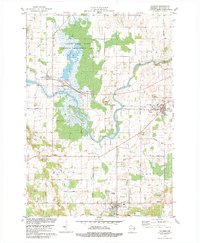
Editions of this 1978 Valders Map
2 editions found
Other maps of this area

1954 · School Hill
USGS Topo · 1:24,000

1954 · St. Wendel
USGS Topo · 1:24,000

1954 · Howards Grove
USGS Topo · 1:62,500

1954 · Chilton
USGS Topo · 1:62,500

1954 · Reedsville
USGS Topo · 1:62,500

1954 · Kiel
USGS Topo · 1:62,500

1954 · Milwaukee
USGS Topo · 1:250,000

1954 · Manitowoc
USGS Topo · 1:250,000

1955 · Green Bay
USGS Topo · 1:250,000

1957 · Madison
USGS Topo · 1:250,000