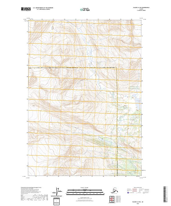
2023 Map of Valdez A-2 NE
USGS Topo · Published 2023About this map
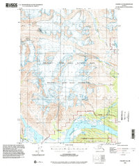
The protected landscapes of the Wrangell-St. Elias Wilderness dominate this terrain within the Chugach and Copper River regions. High alpine drainage patterns are clearly visible, with the headwaters of Falls Creek carving through the northern sections of the map. This area of South-Central Alaska shows no road infrastructure, instead emphasizing the natural hydrology of the watershed, including the Little Bremner River flowing through the southern canyons and the isolated Upper Tebay Lake situated on the eastern boundary. The map captures the scale of the Wrangell-Saint Elias National Park, documenting the wilderness at a moment when these vast interior tracts remain largely untouched by development.
Find a feature on this map
10 named features on this map. Tap any name to fly to it.
Don’t see what you’re looking for? This feature index may not catch every label — zoom into the map to look around manually.
Map Details
Editions of this 2023 Valdez A-2 NE Map
This is the sole edition of this map. No revisions or reprints were ever made.
Other maps of this area

1951 · Valdez B-2
USGS Topo · 1:63,360

1951 · Valdez B-1
USGS Topo · 1:63,360

1951 · Valdez A-1
USGS Topo · 1:63,360

1951 · Valdez A-2
USGS Topo · 1:63,360

1952 · Valdez
USGS Topo · 1:250,000
1957 · Valdez A-2
USGS Topo · 1:63,360

1960 · Valdez
USGS Topo · 1:250,000
1995 · Valdez B-1
USGS Topo · 1:63,360
1995 · Valdez A-1
USGS Topo · 1:63,360
1995 · Valdez A-2
USGS Topo · 1:63,360