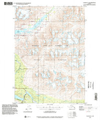
1995 Map of Valdez A-1
USGS Topo · Published 2002About this map
Wrangell - Saint Elias National Park encompasses this high-altitude Alaskan landscape, where glacial waters and remote mountain drainages define the geography. The topography is anchored by the Lower Tebay Lakes system, which feeds northward into the Tebay River. To the south, the Little Bremner River joins the main Bremner River as it cuts across the southwestern corner of the quadrangle.
Find a feature on this map
18 named features on this map. Tap any name to fly to it.
Don’t see what you’re looking for? This feature index may not catch every label — zoom into the map to look around manually.
Map Details
Editions of this 1995 Valdez A-1 Map
This is the sole edition of this map. No revisions or reprints were ever made.
Other maps of this area

1948 · Cordova
USGS Topo · 1:250,000

1950 · McCarthy A-8
USGS Topo · 1:63,360

1950 · Bering Glacier
USGS Topo · 1:250,000

1951 · McCarthy
USGS Topo · 1:250,000

1951 · Bering Glacier
USGS Topo · 1:250,000

1951 · Cordova
USGS Topo · 1:250,000

1951 · Valdez B-2
USGS Topo · 1:63,360

1951 · Valdez B-1
USGS Topo · 1:63,360

1951 · Valdez A-1
USGS Topo · 1:63,360

1951 · McCarthy B-8
USGS Topo · 1:63,360