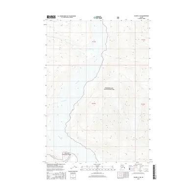
2016 Map of Valdez A-3 NE
USGS Topo · Published 2016About this map
The Copper River defines the dramatic topography of this Alaska interior landscape, carving a deep corridor between the protected wilderness of Wrangell-Saint Elias National Park to the east and the Chugach National Forest to the southwest. This 2016 survey captures the area at a time of preserved natural state, where major tributaries like the Tiekel River and Dewey Cr meet the glacial waters of the Copper. Evidence of human passage is minimal, concentrated on the Cleave Creek Trail in the southern portion of the map. The elevation data reveals the sheer verticality of the terrain surrounding Thunder Creek, illustrating the glacial valleys and ridges that characterize this part of the Unorganized Borough. This document is an essential reference for understanding the hydrological network and the intersection of federal forest and park boundaries in this portion of the state.
Find a feature on this map
13 named features on this map. Tap any name to fly to it.
Don’t see what you’re looking for? This feature index may not catch every label — zoom into the map to look around manually.
Map Details
Editions of this 2016 Valdez A-3 NE Map
This is the sole edition of this map. No revisions or reprints were ever made.
Other maps of this area

1950 · Valdez A-3
USGS Topo · 1:63,360

1951 · Valdez B-2
USGS Topo · 1:63,360

1951 · Valdez B-3
USGS Topo · 1:63,360

1951 · Valdez A-2
USGS Topo · 1:63,360

1952 · Valdez
USGS Topo · 1:250,000

1953 · Valdez A-3
USGS Topo · 1:63,360
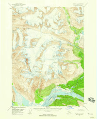
1957 · Valdez A-2
USGS Topo · 1:63,360

1960 · Valdez
USGS Topo · 1:250,000
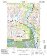
1994 · Valdez A-3
USGS Topo · 1:63,360
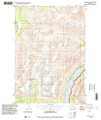
1995 · Valdez B-3
USGS Topo · 1:63,360