
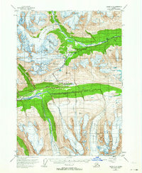
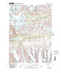
1953 Map of Valdez A-5
USGS Topo · Published 1955About this map
Worthington Glacier dominates the upper-left quadrant of this mid-century Alaskan interior study, illustrating the ice mass as it appeared following 1950 aerial surveys. The landscape is defined by the critical transit corridor of the Richardson Highway, which winds through the high elevation of Thompson Pass. This route served as a primary artery into the interior, and the map captures the logistical infrastructure of the era through sites like Wortmanns and the ARC Camp.
Find a feature on this map
26 named features on this map. Tap any name to fly to it.
Don’t see what you’re looking for? This feature index may not catch every label — zoom into the map to look around manually.
Map Details
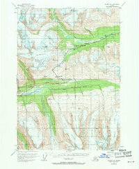
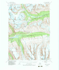
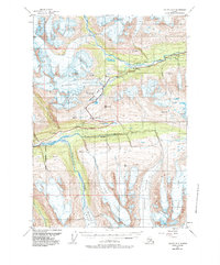
Editions of this 1953 Valdez A-5 Map
6 editions found
Other maps of this area

1948 · Cordova
USGS Topo · 1:250,000

1950 · Cordova D-5
USGS Topo · 1:63,360

1951 · Cordova
USGS Topo · 1:250,000

1951 · Valdez B-5
USGS Topo · 1:63,360

1951 · Valdez B-4
USGS Topo · 1:63,360

1951 · Cordova D-6
USGS Topo · 1:63,360

1951 · Valdez B-6
USGS Topo · 1:63,360

1951 · Cordova D-4
USGS Topo · 1:63,360

1951 · Valdez A-6
USGS Topo · 1:63,360

1952 · Valdez
USGS Topo · 1:250,000