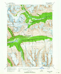
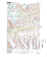
1953 Map of Valdez A-5
USGS Topo · Published 1964About this map
Richardson Highway carves through this glacial landscape, providing a critical transportation link through the Chugach Mountains at the midpoint of the 20th century. The survey highlights the high-altitude transition at Thompson Pass, where the road winds past Blueberry Lake and the massive Worthington Glacier. This area is defined by its dramatic ice fields, including the Heiden Glacier, Deserted Glacier, and Marshall Glacier, which feed into the Lowe River and Tsina River systems. Evidence of early aviation and mountain transit is visible at the Landing Strip near Ptarmigan Drop. Further south, the settlement at Wortmanns sits near the mouth of Heiden Canyon, marking a rare point of habitation amidst the extensive networks of crevasses and ice flows that dominate the quadrangle.
Find a feature on this map
26 named features on this map. Tap any name to fly to it.
Don’t see what you’re looking for? This feature index may not catch every label — zoom into the map to look around manually.
Map Details
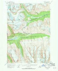
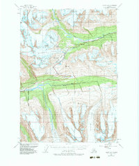
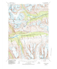
Editions of this 1953 Valdez A-5 Map
6 editions found

Other maps of this area

1948 · Cordova
USGS Topo · 1:250,000

1950 · Cordova D-5
USGS Topo · 1:63,360

1951 · Cordova
USGS Topo · 1:250,000

1951 · Valdez B-5
USGS Topo · 1:63,360

1951 · Valdez B-4
USGS Topo · 1:63,360

1951 · Cordova D-6
USGS Topo · 1:63,360

1951 · Valdez B-6
USGS Topo · 1:63,360

1951 · Cordova D-4
USGS Topo · 1:63,360

1951 · Valdez A-6
USGS Topo · 1:63,360

1952 · Valdez
USGS Topo · 1:250,000