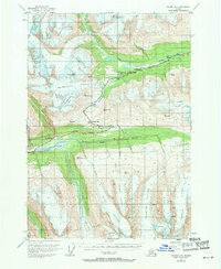
1953 Map of Valdez A-5
USGS Topo · Published 1971About this map
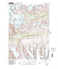
The Richardson Highway carves through the high mountain passes of the Chugach Mountains, tracing a vital path along the Tsina River and through the Lowe River valley. This 1950s record captures the immense glacial landscape of the Valdez region before significant modern retreat, highlighting the massive Worthington Glacier and its intricate drainage patterns. The map documents remote aviation and transit infrastructure of the mid-century era, including a Landing Strip and the small station at Ptarmigan. Extensive fields of Crevasses are marked across the Deserted Glacier and Marshall Glacier, providing a detailed look at the ice conditions that once challenged travelers and surveyors. Terrain features like Girls Mtn and Heiden Canyon further define this frozen wilderness where the highway was the only link between the coast and the interior.
Find a feature on this map
22 named features on this map. Tap any name to fly to it.
Don’t see what you’re looking for? This feature index may not catch every label — zoom into the map to look around manually.
Map Details
Editions of this 1953 Valdez A-5 Map
6 editions found

Other maps of this area

1948 · Cordova
USGS Topo · 1:250,000

1950 · Cordova D-5
USGS Topo · 1:63,360

1951 · Cordova
USGS Topo · 1:250,000

1951 · Valdez B-5
USGS Topo · 1:63,360

1951 · Valdez B-4
USGS Topo · 1:63,360

1951 · Cordova D-6
USGS Topo · 1:63,360

1951 · Valdez B-6
USGS Topo · 1:63,360

1951 · Cordova D-4
USGS Topo · 1:63,360

1951 · Valdez A-6
USGS Topo · 1:63,360

1952 · Valdez
USGS Topo · 1:250,000