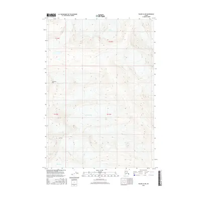
2016 Map of Valdez A-6 NE
USGS Topo · Published 2016About this map
Ted Stevens Icefield dominates this high-altitude Alaskan landscape, where the flow of moving ice defines the terrain in a region known for its massive glacial systems. This 2016 survey documents the sprawling reach of several ice bodies, including Tsina Glacier in the north and the Comicia Glacier and Rubin Glacier along the southwestern edge. The map highlights the sharp contrasts between the deep ice fields and the high points that break through them, such as Prospectors Peak and East Peak. The drainage patterns are clearly visible where ice gives way to water, specifically along the path of Sheep Cr as it descends through the southeastern quadrant. This modern representation of the Chugach Mountains captures the state of these vital glaciers in the early 21st century, providing a baseline for environmental study and mountain navigation.
Find a feature on this map
11 named features on this map. Tap any name to fly to it.
Don’t see what you’re looking for? This feature index may not catch every label — zoom into the map to look around manually.
Map Details
Editions of this 2016 Valdez A-6 NE Map
This is the sole edition of this map. No revisions or reprints were ever made.
Other maps of this area

1951 · Valdez B-5
USGS Topo · 1:63,360

1951 · Valdez B-6
USGS Topo · 1:63,360

1951 · Valdez A-6
USGS Topo · 1:63,360

1952 · Valdez
USGS Topo · 1:250,000

1952 · Valdez A-6
USGS Topo · 1:63,360

1953 · Valdez B-6
USGS Topo · 1:63,360

1953 · Valdez A-5
USGS Topo · 1:63,360

1960 · Valdez
USGS Topo · 1:250,000
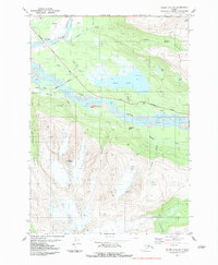
1983 · Valdez A-6 SW
USGS Topo · 1:25,000
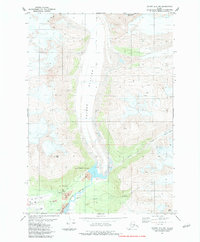
1983 · Valdez A-6 NW
USGS Topo · 1:25,000