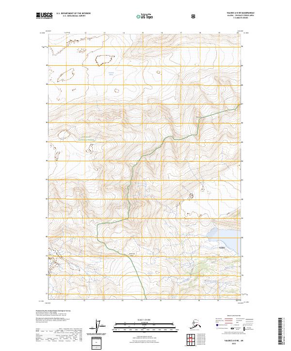
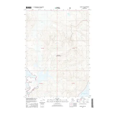
2023 Map of Valdez A-8 NE
USGS Topo · Published 2023About this map
Chugach National Forest dominates this section of the Chugach Mountains, where extreme relief and massive ice fields define the landscape near Valdez. The map illustrates a high-altitude wilderness shaped by the slow movement of the Columbia Glacier, Shoup Glacier, and Anderson Glacier. Glacial melt feeds a network of drainages including Big Creek and McAllister Creek, which flow toward the coastal inlets just beyond these peaks. Navigating this vertical terrain centers on landmarks like Mt Cameron and the high-elevation traverse at Anderson Pass. The presence of the Westbrook Glacier and the headwaters of Palmer Creek highlights the ongoing glacial recession and hydrologic patterns of the region's interior alpine zones.
Find a feature on this map
15 named features on this map. Tap any name to fly to it.
Don’t see what you’re looking for? This feature index may not catch every label — zoom into the map to look around manually.
Map Details
Editions of this 2023 Valdez A-8 NE Map
This is the sole edition of this map. No revisions or reprints were ever made.
Other maps of this area

1952 · Valdez
USGS Topo · 1:250,000

1960 · Valdez A-8
USGS Topo · 1:63,360

1960 · Valdez B-7
USGS Topo · 1:63,360

1960 · Valdez B-8
USGS Topo · 1:63,360

1960 · Valdez A-7
USGS Topo · 1:63,360

1960 · Valdez
USGS Topo · 1:250,000
1995 · Valdez A-8
USGS Topo · 1:63,360
1996 · Valdez A-7
USGS Topo · 1:63,360
2016 · Valdez A-7 SW
USGS Topo · 1:25,000
2016 · Valdez A-8 SW
USGS Topo · 1:25,000