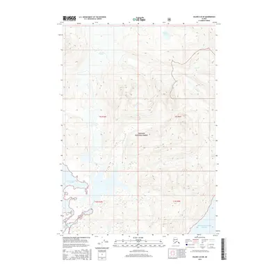
2016 Map of Valdez A-8 SW
USGS Topo · Published 2016About this map
Columbia Glacier dominates the northern reaches of this coastal Alaskan landscape, its massive ice front interacting with the waters of Columbia Bay. Situated within the Chugach National Forest, the terrain is defined by the complex hydrography of Prince William Sound and the numerous glacial meltwater streams that feed into it. The presence of named water bodies like Boreas Lake and Devils Lake high in the mountain valleys provides a detailed look at the drainage patterns of this glacially-carved environment.
Find a feature on this map
15 named features on this map. Tap any name to fly to it.
Don’t see what you’re looking for? This feature index may not catch every label — zoom into the map to look around manually.
Map Details
Editions of this 2016 Valdez A-8 SW Map
This is the sole edition of this map. No revisions or reprints were ever made.
Other maps of this area

1948 · Cordova
USGS Topo · 1:250,000

1951 · Seward
USGS Topo · 1:250,000

1951 · Anchorage
USGS Topo · 1:250,000

1951 · Cordova
USGS Topo · 1:250,000

1951 · Seward D-1
USGS Topo · 1:63,360

1951 · Cordova D-8
USGS Topo · 1:63,360

1952 · Valdez
USGS Topo · 1:250,000

1952 · Seward D-1
USGS Topo · 1:63,360

1952 · Cordova D-8
USGS Topo · 1:63,360

1953 · Seward
USGS Topo · 1:250,000