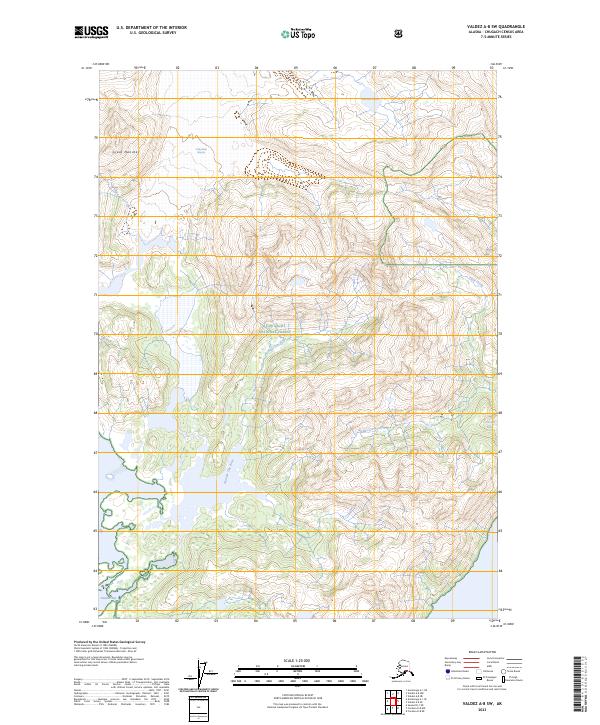
2023 Map of Valdez A-8 SW
USGS Topo · Published 2023About this map
Columbia Glacier dominates the northern reaches of this coastal landscape, where the ice meets the sea at Heather Bay. This terrain within the Chugach National Forest is defined by high-altitude glacial features and the drainage networks of the Number One River and Stellar Creek. The presence of the Great Nunatak rising through the ice fields illustrates the extreme topography of the Chugach Census Area. Further inland, Boreas Lake and Devish Lake sit among steep contours, fed by seasonal flows like Fault Creek. The map documents a wilderness environment where hydrologic changes and glacial retreat continuously reshape the shoreline and internal drainage systems.
Find a feature on this map
15 named features on this map. Tap any name to fly to it.
Don’t see what you’re looking for? This feature index may not catch every label — zoom into the map to look around manually.
Map Details
Editions of this 2023 Valdez A-8 SW Map
This is the sole edition of this map. No revisions or reprints were ever made.
Other maps of this area

1948 · Cordova
USGS Topo · 1:250,000

1951 · Seward
USGS Topo · 1:250,000

1951 · Anchorage
USGS Topo · 1:250,000

1951 · Cordova
USGS Topo · 1:250,000

1951 · Seward D-1
USGS Topo · 1:63,360

1951 · Cordova D-8
USGS Topo · 1:63,360

1952 · Valdez
USGS Topo · 1:250,000

1952 · Seward D-1
USGS Topo · 1:63,360

1952 · Cordova D-8
USGS Topo · 1:63,360

1953 · Seward
USGS Topo · 1:250,000