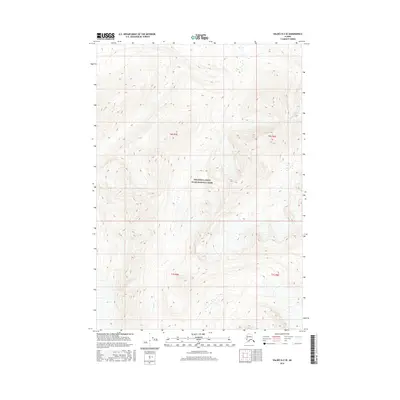
2016 Map of Valdez B-2 SE
USGS Topo · Published 2016About this map
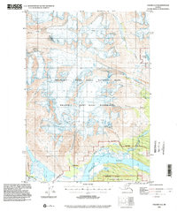
Wrangell-Saint Elias National Park dominates this interior Alaskan landscape, which is characterized by dramatic topographic shifts and the natural drainage patterns of the Copper River basin. The map reveals a transition between high-altitude ridgelines and the lower elevations where Falls Cr flows through the southern section. This 2016 survey illustrates the modern boundaries of the park, showing the intersection of several townships including t6s r5e and t7s r6e. The lack of man-made infrastructure or established settlements underscores the remote nature of this wilderness area, where the primary features are defined by water and landform rather than human development.
Find a feature on this map
6 named features on this map. Tap any name to fly to it.
Don’t see what you’re looking for? This feature index may not catch every label — zoom into the map to look around manually.
Map Details
Editions of this 2016 Valdez B-2 SE Map
This is the sole edition of this map. No revisions or reprints were ever made.
Other maps of this area

1951 · Valdez B-2
USGS Topo · 1:63,360

1951 · Valdez B-1
USGS Topo · 1:63,360

1951 · Valdez A-1
USGS Topo · 1:63,360

1951 · Valdez A-2
USGS Topo · 1:63,360

1952 · Valdez
USGS Topo · 1:250,000
1957 · Valdez A-2
USGS Topo · 1:63,360

1960 · Valdez
USGS Topo · 1:250,000
1995 · Valdez B-1
USGS Topo · 1:63,360
1995 · Valdez A-1
USGS Topo · 1:63,360
1995 · Valdez A-2
USGS Topo · 1:63,360