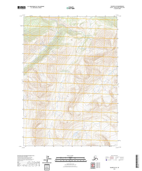
2023 Map of Valdez B-2 SE
USGS Topo · Published 2023About this map
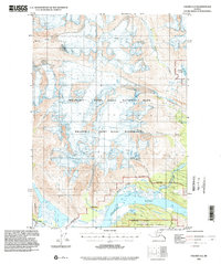
Wrangell-Saint Elias National Park defines the vast majority of this landscape in the Copper River Census Area. The map depicts a pristine subarctic environment within the protected bounds of the Wrangell-St. Elias Wilderness, where the terrain is dominated by steep contour intervals and glacial drainage patterns. Falls Creek is the primary named watercourse on the sheet, carving through the south-central portion of the quadrangle. This 2023 edition uses precise contemporary data to illustrate the untouched topography of the region, providing a baseline for environmental study and backcountry navigation. The Public Land Survey System grid identifies the area as part of the Copper River Meridian, spanning portions of t6s r5e, t6s r6e, t7s r5e, and t7s r6e.
Find a feature on this map
7 named features on this map. Tap any name to fly to it.
Don’t see what you’re looking for? This feature index may not catch every label — zoom into the map to look around manually.
Map Details
Editions of this 2023 Valdez B-2 SE Map
This is the sole edition of this map. No revisions or reprints were ever made.
Other maps of this area

1951 · Valdez B-2
USGS Topo · 1:63,360

1951 · Valdez B-1
USGS Topo · 1:63,360

1951 · Valdez A-1
USGS Topo · 1:63,360

1951 · Valdez A-2
USGS Topo · 1:63,360

1952 · Valdez
USGS Topo · 1:250,000
1957 · Valdez A-2
USGS Topo · 1:63,360

1960 · Valdez
USGS Topo · 1:250,000
1995 · Valdez B-1
USGS Topo · 1:63,360
1995 · Valdez A-1
USGS Topo · 1:63,360
1995 · Valdez A-2
USGS Topo · 1:63,360