
2016 Map of Valdez B-4 SW
USGS Topo · Published 2016About this map
High-altitude interior terrain and energy infrastructure define this part of the Chugach Mountains as documented in 2016. The most prominent modern landmark is the Alaska Pipeline, which traverses the eastern edge of the quadrangle, cutting a path through the wilderness near Boulder Cr. This industrial corridor operates alongside natural drainage systems and significant peaks, providing a clear reference point for the region's intersection of natural resource transport and raw topography.
Find a feature on this map
12 named features on this map. Tap any name to fly to it.
Don’t see what you’re looking for? This feature index may not catch every label — zoom into the map to look around manually.
Map Details
Editions of this 2016 Valdez B-4 SW Map
This is the sole edition of this map. No revisions or reprints were ever made.
Other maps of this area

1951 · Valdez B-5
USGS Topo · 1:63,360

1951 · Valdez B-4
USGS Topo · 1:63,360

1952 · Valdez
USGS Topo · 1:250,000

1953 · Valdez B-4
USGS Topo · 1:63,360

1953 · Valdez A-4
USGS Topo · 1:63,360

1953 · Valdez A-5
USGS Topo · 1:63,360

1960 · Valdez
USGS Topo · 1:250,000
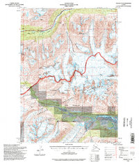
1994 · Valdez A-4
USGS Topo · 1:63,360

1994 · Valdez B-4
USGS Topo · 1:63,360
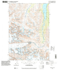
1995 · Valdez B-5
USGS Topo · 1:63,360