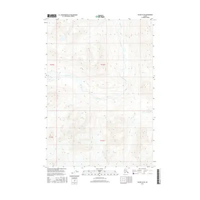
2016 Map of Valdez B-5 SE
USGS Topo · Published 2016About this map
The Tonsina River meanders across this high-elevation landscape, defining the central drainage pattern of the Valdez region. This 2016 survey highlights the intricate glacial and fluvial topography of the Unorganized Borough, where the river is fed by numerous smaller tributaries including Glacier Cr and Stuart Creek. The terrain is characterized by the prominent elevation of Stuart, which stands as a landmark amidst a complex network of ridgelines and valleys. The absence of roads or permanent structures reflects the wilderness character of the Copper River basin, offering a detailed view of the natural hydrology and landform boundaries as they existed in the early 21st century.
Find a feature on this map
9 named features on this map. Tap any name to fly to it.
Don’t see what you’re looking for? This feature index may not catch every label — zoom into the map to look around manually.
Map Details
Editions of this 2016 Valdez B-5 SE Map
This is the sole edition of this map. No revisions or reprints were ever made.
Other maps of this area

1951 · Valdez B-5
USGS Topo · 1:63,360

1951 · Valdez B-4
USGS Topo · 1:63,360

1952 · Valdez
USGS Topo · 1:250,000

1953 · Valdez B-4
USGS Topo · 1:63,360

1953 · Valdez A-4
USGS Topo · 1:63,360

1953 · Valdez A-5
USGS Topo · 1:63,360

1960 · Valdez
USGS Topo · 1:250,000
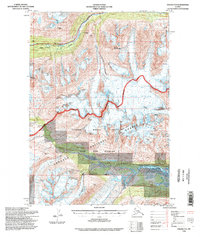
1994 · Valdez A-4
USGS Topo · 1:63,360

1994 · Valdez B-4
USGS Topo · 1:63,360
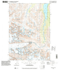
1995 · Valdez B-5
USGS Topo · 1:63,360