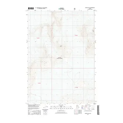
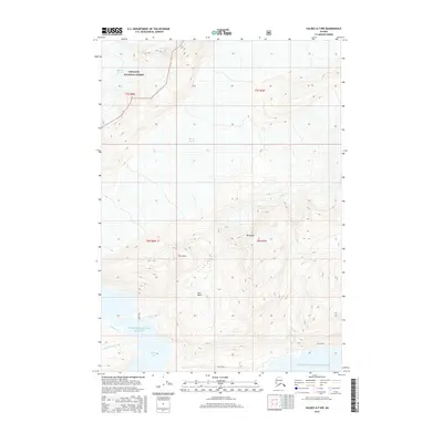
2016 Map of Valdez B-8 SE
USGS Topo · Published 2016About this map
Chugach National Forest land dominates this high-altitude Alaskan landscape, where ice and elevation define the geography. The southern half of the quadrangle is largely occupied by the expansive Columbia Glacier, a massive tidewater ice sheet that has historically shaped the surrounding fjords. Rising above the glacial flow, prominent summits like Pandora Peak and Tazcol Peak serve as primary navigational landmarks in a region devoid of roads or permanent settlements. The survey reflects the raw natural state of the Unorganized Borough in the early 21st century, illustrating the township and range lines of t6s r9w and t7s r8w across a terrain where only high-elevation contours and moving ice predominate.
Find a feature on this map
8 named features on this map. Tap any name to fly to it.
Don’t see what you’re looking for? This feature index may not catch every label — zoom into the map to look around manually.
Map Details
Editions of this 2016 Valdez B-8 SE Map
This is the sole edition of this map. No revisions or reprints were ever made.
Other maps of this area

1952 · Valdez
USGS Topo · 1:250,000

1960 · Valdez A-8
USGS Topo · 1:63,360

1960 · Valdez B-7
USGS Topo · 1:63,360

1960 · Valdez B-8
USGS Topo · 1:63,360

1960 · Valdez A-7
USGS Topo · 1:63,360

1960 · Valdez
USGS Topo · 1:250,000
1995 · Valdez A-8
USGS Topo · 1:63,360
1996 · Valdez A-7
USGS Topo · 1:63,360
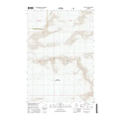
2016 · Valdez B-8 NW
USGS Topo · 1:25,000
2016 · Valdez A-7 NW
USGS Topo · 1:25,000