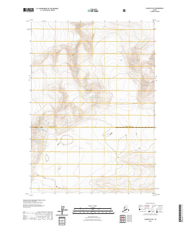
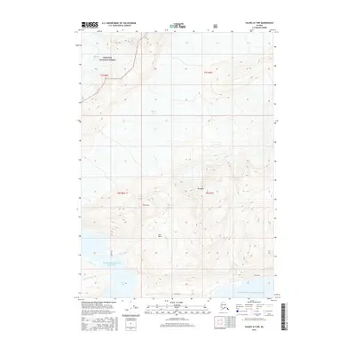
2023 Map of Valdez B-8 SE
USGS Topo · Published 2023About this map
Chugach National Forest encompasses the vast majority of this remote Alaskan terrain, where high-altitude ice and granite dominate the landscape. The northeastern portion of the map is defined by the massive Columbia Glacier, an immense ice field flowing through the mountains toward the sea. Dramatic elevations are marked by several prominent summits, including Tazcol Peak in the east and Pandora Peak at the center of the sheet, while Divider Mountain rises sharply in the southwest. This map reveals a region largely untouched by road infrastructure or permanent human settlement, instead documenting a wilderness of vertical relief and moving ice. The survey effectively captures the boundary where the coastal forest meets the glacial interior, providing a clear record of the area's geological and glaciological features as they appeared in 2023.
Find a feature on this map
10 named features on this map. Tap any name to fly to it.
Don’t see what you’re looking for? This feature index may not catch every label — zoom into the map to look around manually.
Map Details
Editions of this 2023 Valdez B-8 SE Map
This is the sole edition of this map. No revisions or reprints were ever made.
Other maps of this area

1952 · Valdez
USGS Topo · 1:250,000

1960 · Valdez A-8
USGS Topo · 1:63,360

1960 · Valdez B-7
USGS Topo · 1:63,360

1960 · Valdez B-8
USGS Topo · 1:63,360

1960 · Valdez A-7
USGS Topo · 1:63,360

1960 · Valdez
USGS Topo · 1:250,000
1995 · Valdez A-8
USGS Topo · 1:63,360
1996 · Valdez A-7
USGS Topo · 1:63,360
2016 · Valdez B-8 NW
USGS Topo · 1:25,000
2016 · Valdez A-7 NW
USGS Topo · 1:25,000